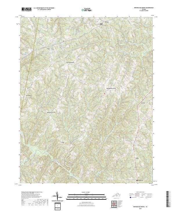
2022 Map of Republican Grove
USGS Topo · Published 2022About this map
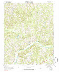
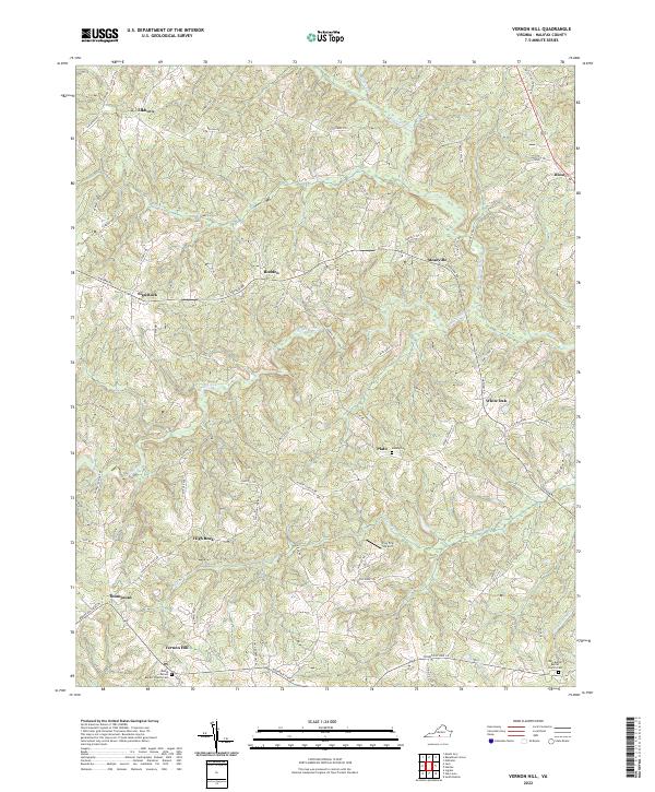
Republican Grove and its surrounding rural hamlets define this portion of the Virginia Piedmont along the border of Pittsylvania and Halifax counties. The landscape is characterized by a dense network of creek valleys, including Childrey Creek and Bradley Creek, which feed into the Banister River as it winds through the southern reaches of the quadrangle. Small, historically significant settlements such as Leda, Hickory Grove, and Volens are connected by narrow winding roads like Stage Coach Road and Golden Leaf Road, reflecting the area's agricultural roots.
Find a feature on this map
85 named features on this map. Tap any name to fly to it.
Don’t see what you’re looking for? This feature index may not catch every label — zoom into the map to look around manually.
Map Details
Editions of this 2022 Republican Grove Map
This is the sole edition of this map. No revisions or reprints were ever made.
Historical Maps of Millstone Through Time
15 maps found

1954 Riceville
Halifax County, VA
1968 Alton
Halifax County, VA
1968 Buffalo Springs
Halifax County, VA
1968 Conner Lake
Halifax County, VA
1968 Oak Level
Halifax County, VA
1968 Omega
Halifax County, VA
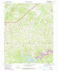
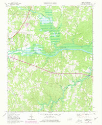
1968 Republican Grove
Halifax County, VA
1968 Vernon Hill
Halifax County, VA

2022 Alton
Halifax County, VA
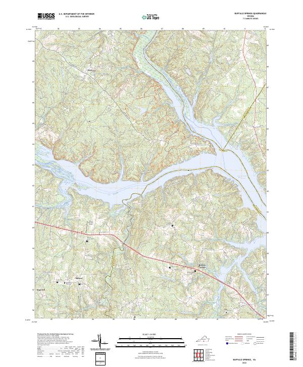
2022 Buffalo Springs
Halifax County, VA
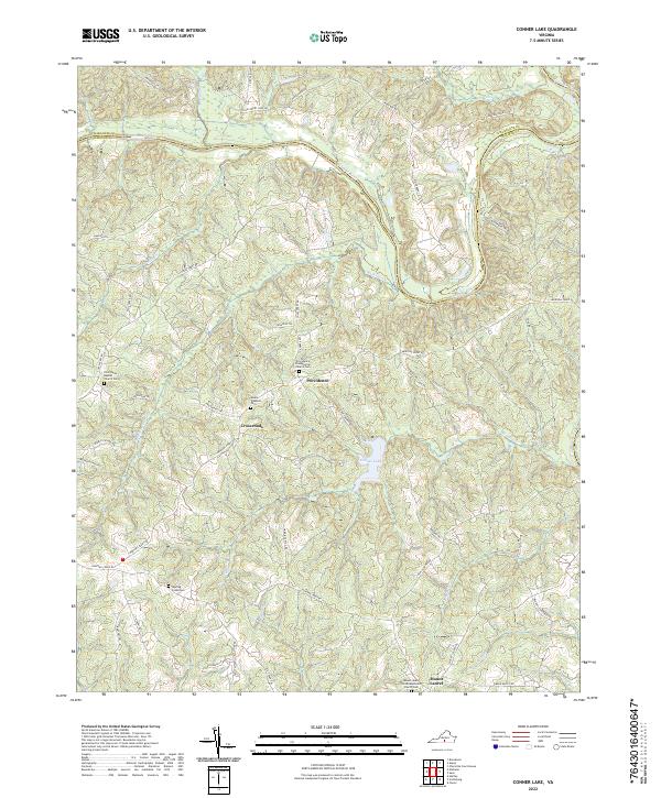
2022 Conner Lake
Halifax County, VA
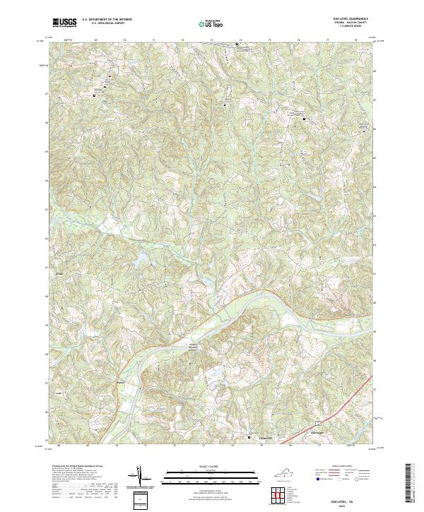
2022 Oak Level
Halifax County, VA
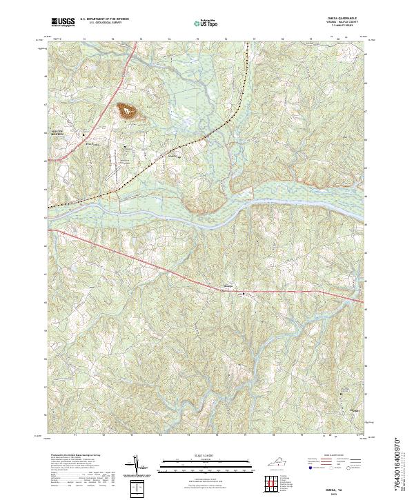
2022 Omega
Halifax County, VA
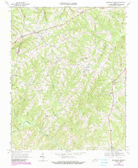
2022 Republican Grove
Halifax County, VA
2022 Vernon Hill
Halifax County, VA