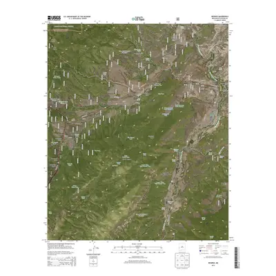
2013 Map of Reserve
USGS Topo · Published 2013About this map
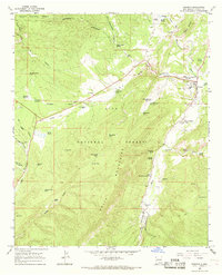
The San Francisco River valley serves as the primary corridor for settlement in this western New Mexico landscape, dominated by the convergence of the Apache National Forest and Gila National Forest. The village of Reserve sits at the junction of State Hwy 12 and State Hwy 435, anchored by local institutions like the Reserve Cem and the Po. Smaller communities and historical plazas string along the riverbanks, including San Francisco Plaza, Middle Frisco, and Lower San Francisco Plaza.
Find a feature on this map
83 named features on this map. Tap any name to fly to it.
Don’t see what you’re looking for? This feature index may not catch every label — zoom into the map to look around manually.
Map Details
Editions of this 2013 Reserve Map
This is the sole edition of this map. No revisions or reprints were ever made.
Other maps of this area

1915 · Reserve
USGS Topo · 1:125,000

1918 · Reserve
USGS Topo · 1:125,000

1954 · Clifton
USGS Topo · 1:250,000

1957 · Clifton
USGS Topo · 1:250,000

1958 · Clifton
USGS Topo · 1:250,000

1962 · Clifton
USGS Topo · 1:250,000
1963 · Sign Camp Mountain
USGS Topo · 1:24,000
1963 · Saliz Pass
USGS Topo · 1:24,000
1963 · O Block Canyon
USGS Topo · 1:24,000
1965 · Reserve
USGS Topo · 1:24,000
Featured Places
- Reserve, NM
- San Francisco Plaza, NM
- Rancho Grande Estates, NM
- Lower San Francisco Plaza, NM
- Catron County, NM