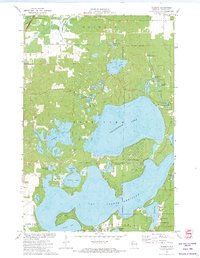
1971 Map of Reserve
USGS Topo · Published 1974About this map
Lac Courte Oreilles and Grindstone Lake dominate this Sawyer County landscape, where the waters of the Namekagon River flow through the northwest corner near the State Nursery. The settlement of Reserve sits at the lake's edge, anchored by the St Francis Solanus Mission, while the developed shoreline of Northwoods Beach highlights the area's mid-century evolution into a recreational destination. Numerous smaller water bodies like Windigo Lake, Schoolhouse Lake, and the marshy Cranberry Bog reflect the glaciated terrain of the Hayward region.
Find a feature on this map
48 named features on this map. Tap any name to fly to it.
Don’t see what you’re looking for? This feature index may not catch every label — zoom into the map to look around manually.
Map Details
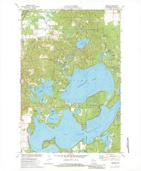
Editions of this 1971 Reserve Map
2 editions found
Other maps of this area

1944 · Couderay
USGS Topo · 1:48,000

1944 · Hayward
USGS Topo · 1:48,000

1947 · Chittamo
USGS Topo · 1:48,000

1948 · Couderay
USGS Topo · 1:48,000

1948 · Stone Lake
USGS Topo · 1:48,000

1949 · Chittamo
USGS Topo · 1:48,000

1950 · Stone Lake
USGS Topo · 1:48,000

1953 · Ashland
USGS Topo · 1:250,000

1953 · Rice Lake
USGS Topo · 1:250,000

1958 · Ashland
USGS Topo · 1:250,000