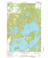
1971 Map of Reserve
USGS Topo · Published 1984About this map
The expansive waters of Grindstone Lake and Lac Courte Oreilles dominate this Wisconsin landscape, reflecting the lake-focused development of Sawyer County in the early 1970s. Residential clusters like Northwoods Beach and Victory Heights sit along the timbered shorelines, while the Indian Reservation Boundary shapes the southern and eastern portions of the map.
Find a feature on this map
46 named features on this map. Tap any name to fly to it.
Don’t see what you’re looking for? This feature index may not catch every label — zoom into the map to look around manually.
Map Details
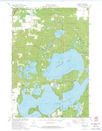
Editions of this 1971 Reserve Map
2 editions found
Other maps of this area

1944 · Couderay
USGS Topo · 1:48,000

1944 · Hayward
USGS Topo · 1:48,000

1947 · Chittamo
USGS Topo · 1:48,000

1948 · Couderay
USGS Topo · 1:48,000

1948 · Stone Lake
USGS Topo · 1:48,000

1949 · Chittamo
USGS Topo · 1:48,000

1950 · Stone Lake
USGS Topo · 1:48,000

1953 · Ashland
USGS Topo · 1:250,000

1953 · Rice Lake
USGS Topo · 1:250,000

1958 · Ashland
USGS Topo · 1:250,000