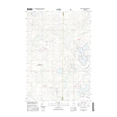
2015 Map of Reservoir Pond
USGS Topo · Published 2015About this map
Nicolet National Forest dominates this Northwoods landscape, where a dense network of glacial lakes and springs defines the local geography. The map centerpiece, Reservoir Pond, is flanked by smaller water bodies including Horn Lake and Lauder Lake, illustrating the area's significance for regional water management and recreation. To the south, the Jones Spring Impoundment and the winding S Br Oconto River highlight the hydraulic complexity of the terrain. The presence of numerous named springs, such as McCaslin Spring and Barney Spring, alongside family-named roads like Koenig Rd and Townsend Dam Rd, provides a clear view of the established forest management and seasonal residence patterns. This survey effectively documents the intersection of public forest lands and private waterfront development at the county line between Langlade and Oconto counties.
Find a feature on this map
62 named features on this map. Tap any name to fly to it.
Don’t see what you’re looking for? This feature index may not catch every label — zoom into the map to look around manually.
Map Details
Editions of this 2015 Reservoir Pond Map
This is the sole edition of this map. No revisions or reprints were ever made.
Other maps of this area

1942 · Wabeno
USGS Topo · 1:48,000

1942 · Pearson
USGS Topo · 1:48,000

1950 · Wabeno
USGS Topo · 1:48,000

1950 · Lily
USGS Topo · 1:48,000

1951 · Wabeno
USGS Topo · 1:48,000

1952 · White Lake
USGS Topo · 1:48,000

1952 · Langlade
USGS Topo · 1:48,000

1954 · Iron Mountain
USGS Topo · 1:250,000

1959 · Iron Mountain
USGS Topo · 1:250,000
1972 · Wabeno
USGS Topo · 1:24,000