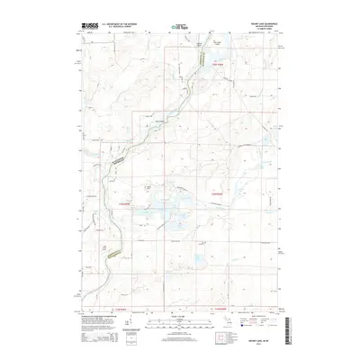
2014 Map of Resort Lake
USGS Topo · Published 2014About this map
The Menominee River forms a jagged natural boundary between Wisconsin and Michigan in this 2014 survey of the borderlands near Amberg. This landscape is defined by its complex hydrology, where the river winds past the Sixty Islands and Merryman Island. To the east in Michigan, a dense cluster of water bodies including Resort Lake, East Lake, Becher Lake, and the Shakey Lakes suggests a region heavily utilized for recreation and seasonal residency.
Find a feature on this map
82 named features on this map. Tap any name to fly to it.
Don’t see what you’re looking for? This feature index may not catch every label — zoom into the map to look around manually.
Map Details
Editions of this 2014 Resort Lake Map
This is the sole edition of this map. No revisions or reprints were ever made.
Other maps of this area
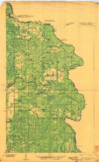
1939 · Pembine
USGS Topo · 1:48,000
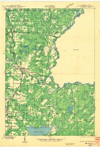
1942 · Wausaukee
USGS Topo · 1:48,000
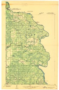
1947 · Pembine
USGS Topo · 1:48,000
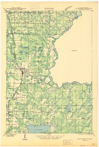
1947 · Wausaukee
USGS Topo · 1:48,000
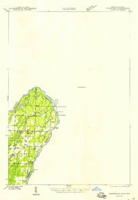
1949 · Stephenson
USGS Topo · 1:48,000

1954 · Escanaba
USGS Topo · 1:250,000

1957 · Escanaba
USGS Topo · 1:250,000

1958 · Escanaba
USGS Topo · 1:250,000
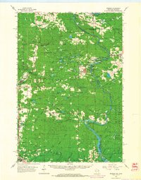
1963 · Pembine
USGS Topo · 1:62,500
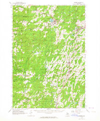
1963 · Powers
USGS Topo · 1:62,500