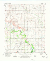
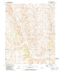
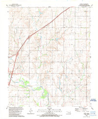
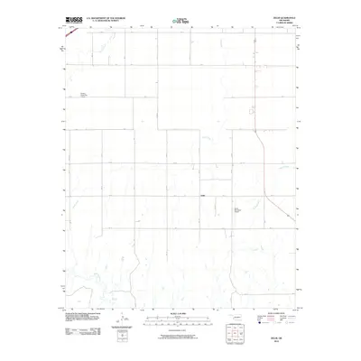
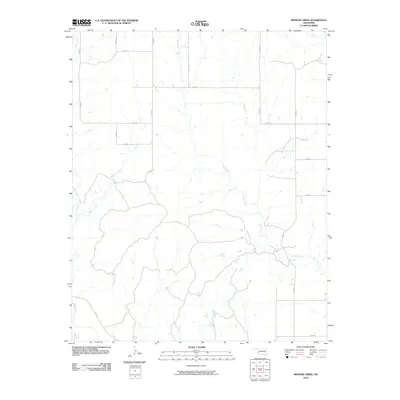
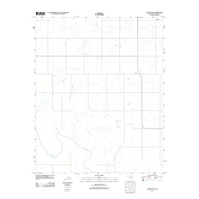
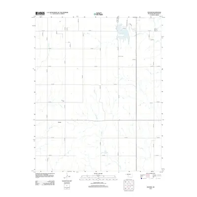
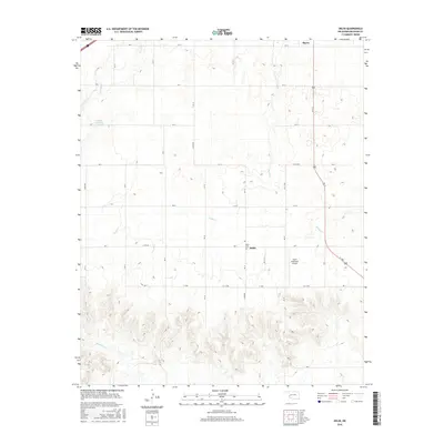
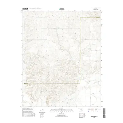
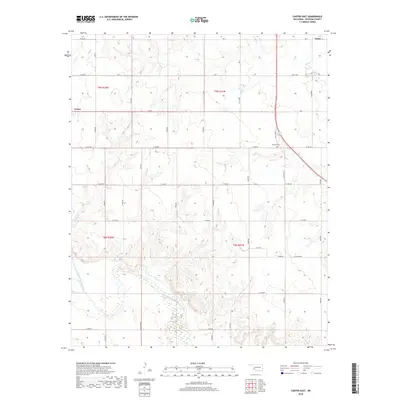
1961 Map of Retrop
USGS Topo · Published 1978About this map
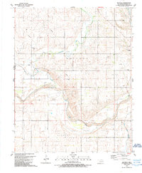
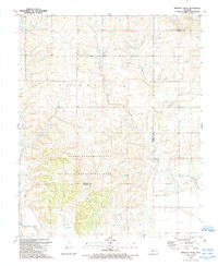
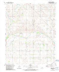
The North Fork Red River meanders across this Western Oklahoma landscape, marking a boundary where the flat plains of the Dill and Poarch regions meet the rising Granite Mountains. By the early 1960s, the rural community of Retrop and its predecessor, Old Retrop, served as central points for a scattered network of farmstead life. Evidence of local industry is found in the West Sentinel Oil Field and the Moravia Oil and Gas Field, while the southern reaches show the early recreational development of Quartz Mountain State Park near the shores of Lake Altus. The area's social fabric is anchored by landmarks like the Port Sch, Zion Ch, and several rural burial grounds including Poarch Cem and Pleasant Valley Cem.
Find a feature on this map
38 named features on this map. Tap any name to fly to it.
Don’t see what you’re looking for? This feature index may not catch every label — zoom into the map to look around manually.
Map Details
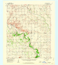
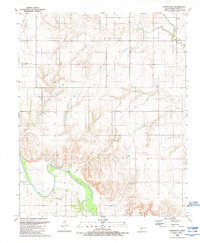
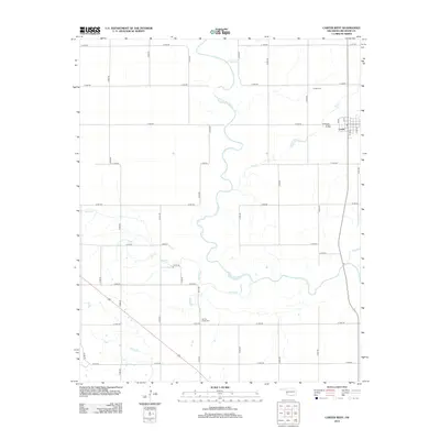
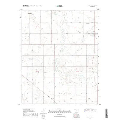
Editions of this 1961 Retrop Map
2 editions found
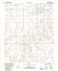
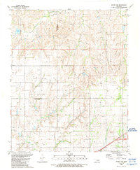
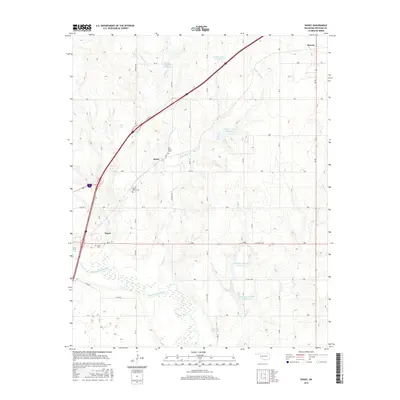
Historical Maps of Carter Through Time
61 maps found
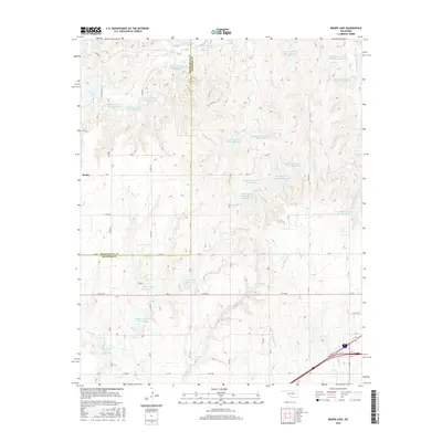
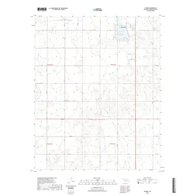
1961 Retrop
Beckham County, OK
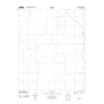
1987 Hocker
Beckham County, OK
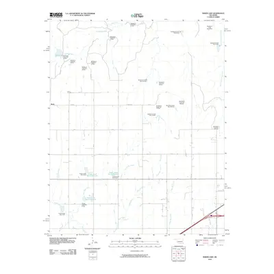
1989 Baker Lake
Beckham County, OK
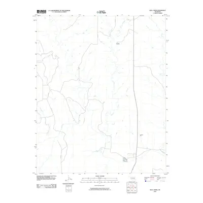
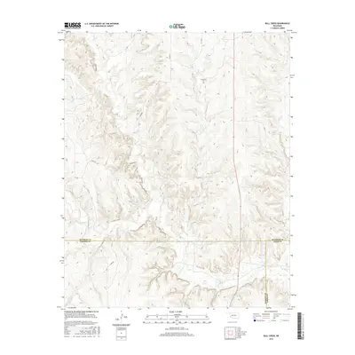
1989 Bull Creek
Beckham County, OK
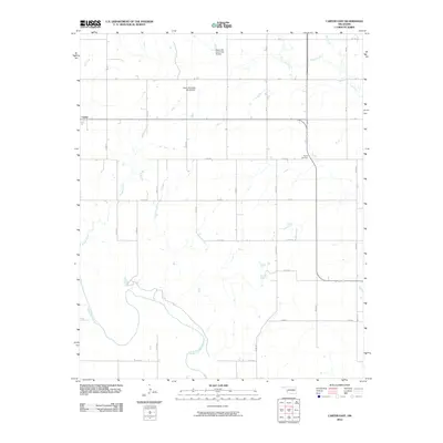
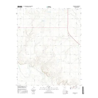
1989 Carter East
Beckham County, OK
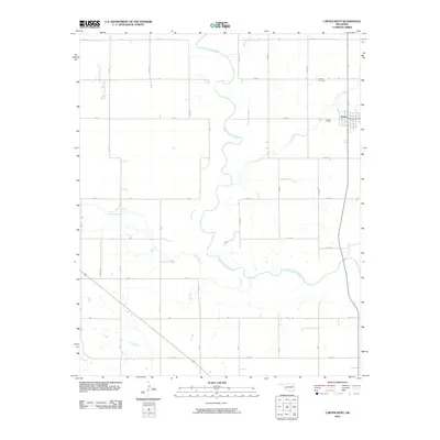
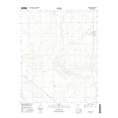
1989 Carter West
Beckham County, OK
1989 Delhi
Beckham County, OK
1989 Doxey
Beckham County, OK
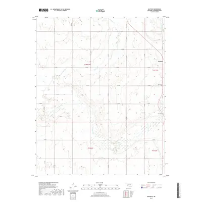
1989 Mayfield
Beckham County, OK
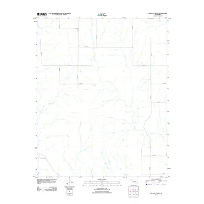
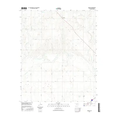
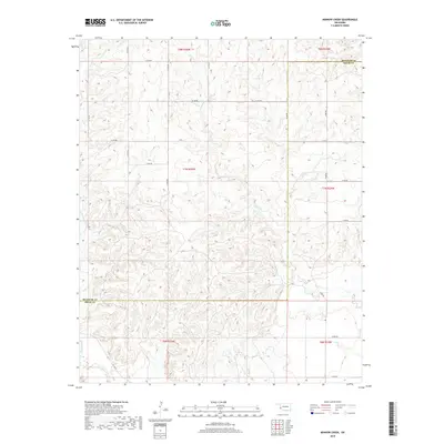
1989 Minnow Creek
Beckham County, OK
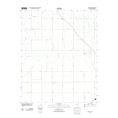
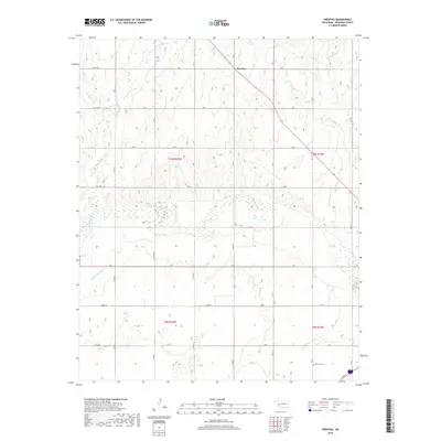
1989 Prentiss
Beckham County, OK
2010 Baker Lake
Beckham County, OK
2010 Bull Creek
Beckham County, OK
2010 Carter East
Beckham County, OK
2010 Carter West
Beckham County, OK
2010 Delhi
Beckham County, OK
2010 Doxey
Beckham County, OK
2010 Hocker
Beckham County, OK
2010 Mayfield
Beckham County, OK
2010 Minnow Creek
Beckham County, OK
2010 Prentiss
Beckham County, OK
2012 Baker Lake
Beckham County, OK
2012 Bull Creek
Beckham County, OK
2012 Carter East
Beckham County, OK
2012 Carter West
Beckham County, OK
2012 Delhi
Beckham County, OK
2012 Doxey
Beckham County, OK
2012 Hocker
Beckham County, OK
2012 Mayfield
Beckham County, OK
2012 Minnow Creek
Beckham County, OK
2012 Prentiss
Beckham County, OK
2016 Baker Lake
Beckham County, OK
2016 Bull Creek
Beckham County, OK
2016 Carter East
Beckham County, OK
2016 Carter West
Beckham County, OK
2016 Delhi
Beckham County, OK
2016 Doxey
Beckham County, OK
2016 Hocker
Beckham County, OK
2016 Mayfield
Beckham County, OK
2016 Minnow Creek
Beckham County, OK
2016 Prentiss
Beckham County, OK
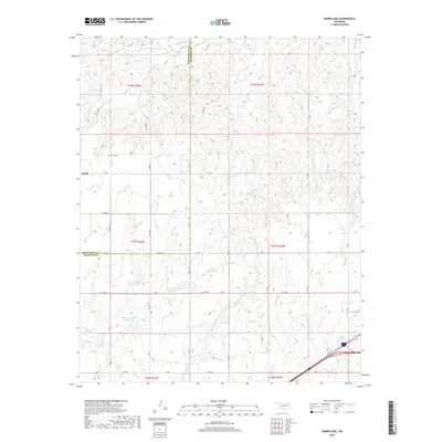
2018 Baker Lake
Beckham County, OK
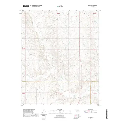
2018 Bull Creek
Beckham County, OK
2018 Carter East
Beckham County, OK
2018 Carter West
Beckham County, OK
2018 Delhi
Beckham County, OK
2018 Doxey
Beckham County, OK
2018 Hocker
Beckham County, OK
2018 Mayfield
Beckham County, OK
2018 Minnow Creek
Beckham County, OK
2018 Prentiss
Beckham County, OK
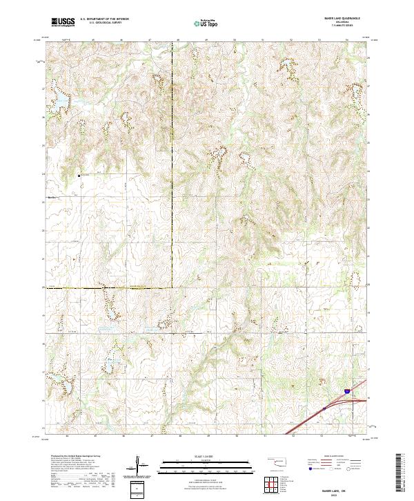
2022 Baker Lake
Beckham County, OK
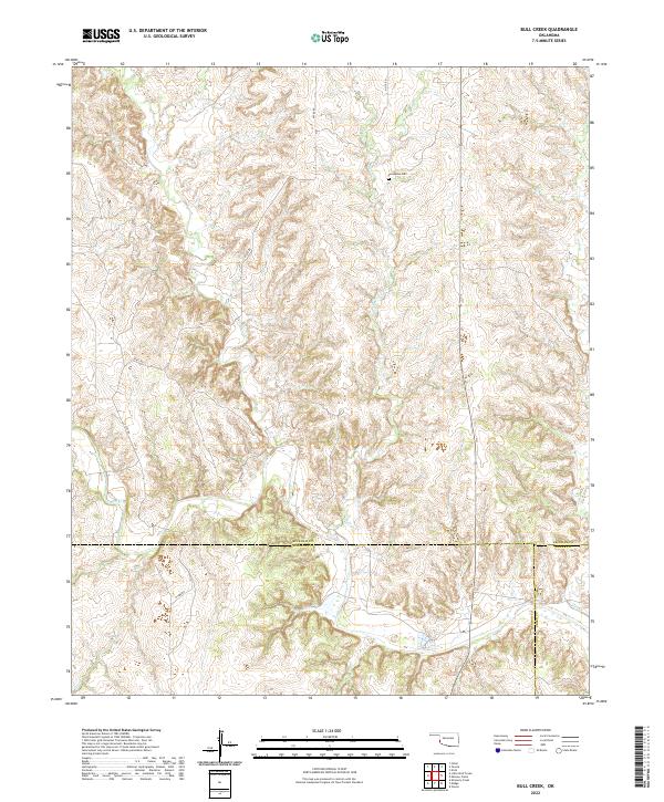
2022 Bull Creek
Beckham County, OK
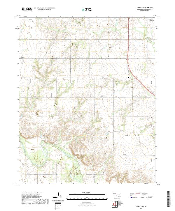
2022 Carter East
Beckham County, OK
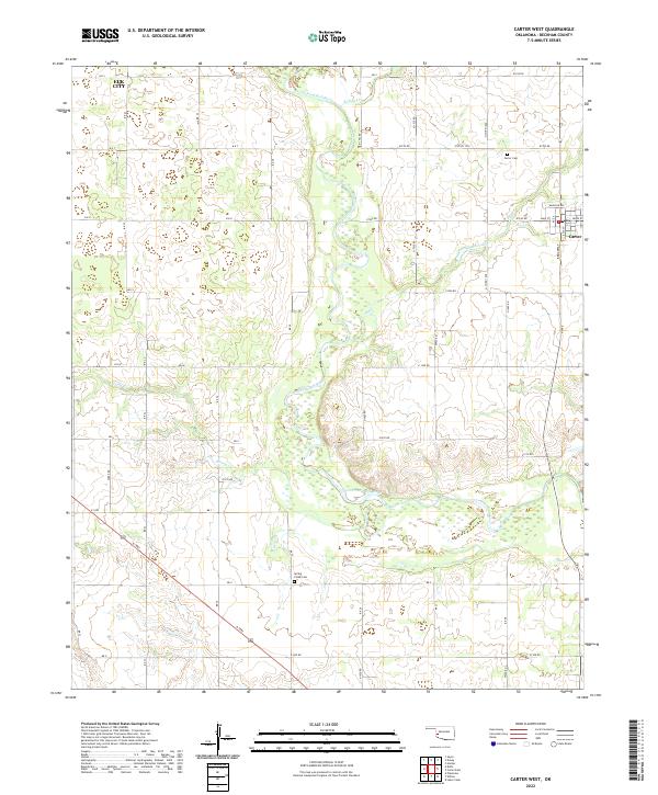
2022 Carter West
Beckham County, OK
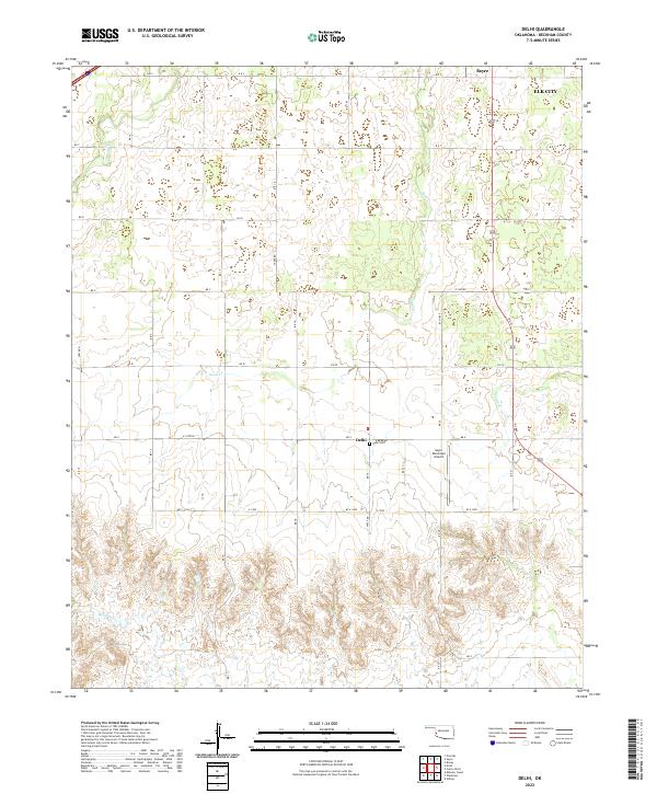
2022 Delhi
Beckham County, OK
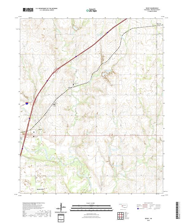
2022 Doxey
Beckham County, OK
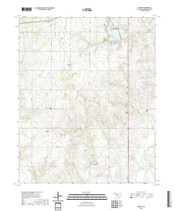
2022 Hocker
Beckham County, OK
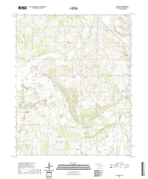
2022 Mayfield
Beckham County, OK
2022 Minnow Creek
Beckham County, OK
2022 Prentiss
Beckham County, OK