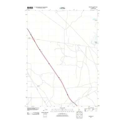
2011 Map of Reverse
USGS Topo · Published 2011About this map
Reverse is the primary point of settlement in this high-desert landscape, situated where the transportation corridor of Hwy 30 E meets local infrastructure like Beet Dump Rd. The map illustrates a region defined by water management and transit, showing the transition from the legacy of Old Highway 30 to more modern thoroughfares. In the northeastern corner, the Hot Springs Creek Reservoir and its associated infrastructure, including Hall Dam and Hot Springs Number Two Dam, indicate the importance of seasonal water storage along Hot Springs Creek. This 2011 survey captures the area at a time when agricultural activity, suggested by roads like Beet Dump Rd, continues to shape the layout of the land alongside natural drainages like Dry Creek.
Find a feature on this map
11 named features on this map. Tap any name to fly to it.
Don’t see what you’re looking for? This feature index may not catch every label — zoom into the map to look around manually.
Map Details
Editions of this 2011 Reverse Map
This is the sole edition of this map. No revisions or reprints were ever made.
Other maps of this area

1892 · Mountain Home
USGS Topo · 1:125,000

1892 · Camas Prairie
USGS Topo · 1:125,000

1893 · Mountain Home
USGS Topo · 1:125,000

1893 · Camas Prairie
USGS Topo · 1:125,000

1947 · Indian Cove
USGS Topo · 1:24,000

1947 · Hammett
USGS Topo · 1:24,000

1947 · Sand Dunes
USGS Topo · 1:24,000

1948 · Sand Dunes
USGS Topo · 1:24,000

1948 · Hammett
USGS Topo · 1:24,000

1948 · Indian Cove
USGS Topo · 1:24,000