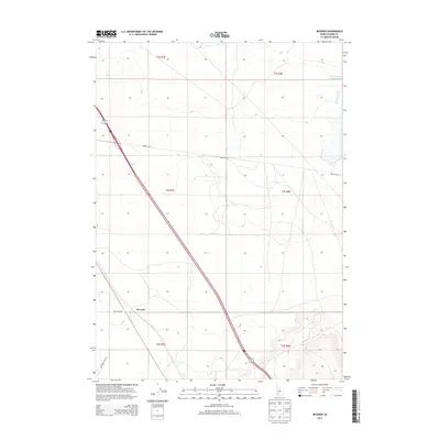
2013 Map of Reverse
USGS Topo · Published 2013About this map
Reverse sits at the center of this 2013 survey of Elmore County, where the high desert landscape is punctuated by water management and a network of arterial roads. The settlement is positioned near a major rail line and is served by local routes like Beet Dump Rd, indicating the importance of agricultural transport in the area. The terrain is defined by drainages such as Dry Cr and Hot Springs Cr, the latter of which feeds into the Hot Springs Cr Reservoir in the northeastern corner of the map. These water features, alongside the township and range lines of t4s r7e and t4s r8e, illustrate the organized division of this arid Idaho landscape for cattle ranching or seasonal farming.
Find a feature on this map
13 named features on this map. Tap any name to fly to it.
Don’t see what you’re looking for? This feature index may not catch every label — zoom into the map to look around manually.
Map Details
Editions of this 2013 Reverse Map
This is the sole edition of this map. No revisions or reprints were ever made.
Other maps of this area

1892 · Mountain Home
USGS Topo · 1:125,000

1892 · Camas Prairie
USGS Topo · 1:125,000

1893 · Mountain Home
USGS Topo · 1:125,000

1893 · Camas Prairie
USGS Topo · 1:125,000

1947 · Indian Cove
USGS Topo · 1:24,000

1947 · Hammett
USGS Topo · 1:24,000

1947 · Sand Dunes
USGS Topo · 1:24,000

1948 · Sand Dunes
USGS Topo · 1:24,000

1948 · Hammett
USGS Topo · 1:24,000

1948 · Indian Cove
USGS Topo · 1:24,000