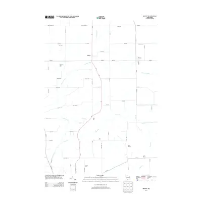
2013 Map of Rewey
USGS Topo · Published 2013About this map
Rewey and the small settlement of Arthur anchor this rural landscape in the driftless region of Wisconsin during the early 21st century. The terrain is defined by the winding course of the Little Platte River and its tributaries, including Mounds Br and Williams-Rewey Br. Prominent geographic features such as Platte Mounds and Little Mound rise above the agricultural fields, providing distinct vertical relief to the surrounding countryside.
Find a feature on this map
65 named features on this map. Tap any name to fly to it.
Don’t see what you’re looking for? This feature index may not catch every label — zoom into the map to look around manually.
Map Details
Editions of this 2013 Rewey Map
This is the sole edition of this map. No revisions or reprints were ever made.
Other maps of this area

1900 · Lancaster
USGS Topo · 1:125,000

1902 · Mineral Point
USGS Topo · 1:125,000

1904 · Lancaster
USGS Topo · 1:125,000

1908 · Lancaster
USGS Topo · 1:125,000

1952 · Platteville
USGS Topo · 1:24,000

1952 · Rewey
USGS Topo · 1:24,000

1952 · Montfort
USGS Topo · 1:24,000

1952 · Belmont
USGS Topo · 1:24,000

1952 · Linden
USGS Topo · 1:24,000

1952 · Mifflin
USGS Topo · 1:24,000