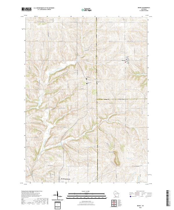
2022 Map of Rewey
USGS Topo · Published 2022About this map
Rewey stands at the intersection of Iowa and Lafayette counties, serving as a focal point for this rural landscape in Southwest Wisconsin. The terrain is defined by the prominent Platte Mounds and the headwaters of several significant drainage systems, including the Little Platte River and the Galena River. The settlement pattern follows a traditional township grid, with the northern reaches of Platteville appearing at the southern margin.
Find a feature on this map
70 named features on this map. Tap any name to fly to it.
Don’t see what you’re looking for? This feature index may not catch every label — zoom into the map to look around manually.
Map Details
Editions of this 2022 Rewey Map
This is the sole edition of this map. No revisions or reprints were ever made.
Other maps of this area

1900 · Lancaster
USGS Topo · 1:125,000

1902 · Mineral Point
USGS Topo · 1:125,000

1904 · Lancaster
USGS Topo · 1:125,000

1908 · Lancaster
USGS Topo · 1:125,000

1952 · Platteville
USGS Topo · 1:24,000

1952 · Rewey
USGS Topo · 1:24,000

1952 · Montfort
USGS Topo · 1:24,000

1952 · Belmont
USGS Topo · 1:24,000

1952 · Linden
USGS Topo · 1:24,000

1952 · Mifflin
USGS Topo · 1:24,000