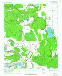
1964 Map of Reydell
USGS Topo · Published 1965About this map
Bayou Meto meanders through this portion of the Arkansas Delta, defining a landscape of wetlands and timbered brakes in the mid-1960s. The settlement at Reydell serves as a local hub near the Levee, while smaller communities like Langford and Birmac sit along the northwestern edge of the sheet. The terrain is characterized by oxbow lakes and cypress brakes, including Big Grassy Brake and Hagler Cypress Brake, which speak to the area's complex hydrology before extensive drainage changed the regional character.
Find a feature on this map
38 named features on this map. Tap any name to fly to it.
Don’t see what you’re looking for? This feature index may not catch every label — zoom into the map to look around manually.
Map Details
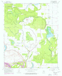
Editions of this 1964 Reydell Map
2 editions found
Other maps of this area

1935 · Varner
USGS Topo · 1:62,500

1935 · Gillett
USGS Topo · 1:62,500

1941 · De Witt
USGS Topo · 1:62,500

1941 · Goldman
USGS Topo · 1:62,500

1948 · Helena
USGS Topo · 1:250,000

1950 · Helena
USGS Topo · 1:250,000

1954 · De Witt
USGS Topo · 1:62,500

1955 · Helena
USGS Topo · 1:250,000

1959 · Helena
USGS Topo · 1:250,000

1960 · Helena
USGS Topo · 1:250,000