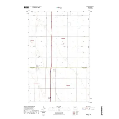
2018 Map of Reynolds
USGS Topo · Published 2018About this map
Reynolds sits at the intersection of the Grand Forks Co Traill Co line, serving as a primary point of settlement in this agricultural landscape. The township grid is defined by a series of numbered avenues, from 5th Ave NE in the north down to 17th St NE in the south. This 2018 survey illustrates the modern drainage infrastructure essential to the region, including Drain Number 27 and Drain Number 10, which supplement natural watercourses like Cole Cr. For those researching local history or genealogy, the Americus Saint Olaf Cem stands as a significant landmark north of the town center. Aviation plays a visible role in the area's transport and economy, evidenced by both Saure Airport and the Central Valley Aviation facility located along the main north-south corridor.
Find a feature on this map
22 named features on this map. Tap any name to fly to it.
Don’t see what you’re looking for? This feature index may not catch every label — zoom into the map to look around manually.
Map Details
Editions of this 2018 Reynolds Map
This is the sole edition of this map. No revisions or reprints were ever made.
Other maps of this area

1919 · Eldred
USGS Topo · 1:62,500

1934 · Grand Forks
USGS Topo · 1:62,500

1938 · Grand Forks
USGS Topo · 1:62,500

1952 · Grand Forks
USGS Topo · 1:250,000

1956 · Grand Forks
USGS Topo · 1:250,000

1964 · Climax NW
USGS Topo · 1:24,000

1964 · Climax SW
USGS Topo · 1:24,000
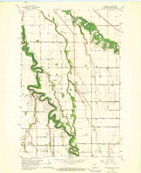
1964 · Bygland
USGS Topo · 1:24,000

1966 · Grand Forks
USGS Topo · 1:250,000
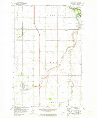
1971 · Thompson
USGS Topo · 1:24,000