
1964 Map of Climax NW
USGS Topo · Published 1966About this map
The Red River meanders in tight oxbows along the border of North Dakota and Minnesota, carving a deep, winding channel through the flat prairie landscape. This mid-1960s survey captures the agricultural heart of the Red River Valley, where the land is strictly divided into townships like Stavanger, Belmont, and Bentru. The reliance on local drainage systems is evident through the presence of County Ditch No 110 and County Ditch No 103, which channel water toward the primary river system.
Find a feature on this map
18 named features on this map. Tap any name to fly to it.
Don’t see what you’re looking for? This feature index may not catch every label — zoom into the map to look around manually.
Map Details
Editions of this 1964 Climax NW Map
This is the sole edition of this map. No revisions or reprints were ever made.
Other maps of this area

1919 · Eldred
USGS Topo · 1:62,500

1934 · Grand Forks
USGS Topo · 1:62,500

1938 · Grand Forks
USGS Topo · 1:62,500

1952 · Grand Forks
USGS Topo · 1:250,000

1956 · Grand Forks
USGS Topo · 1:250,000

1964 · Climax SW
USGS Topo · 1:24,000
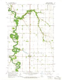
1964 · Climax
USGS Topo · 1:24,000
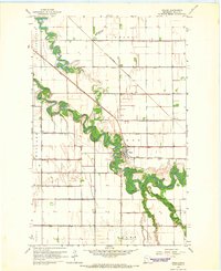
1964 · Fisher
USGS Topo · 1:24,000
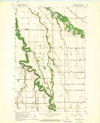
1964 · Bygland
USGS Topo · 1:24,000
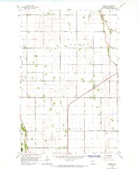
1964 · Eldred
USGS Topo · 1:24,000