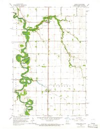
1964 Map of Climax
USGS Topo · Published 1966About this map
The Red River creates a serpentine border between North Dakota and Minnesota, defining the western edge of this agricultural landscape in the mid-1960s. The town of Climax and the smaller settlement of Nielsville serve as the primary anchors for the region, both positioned along the Great Northern railroad line. This corridor reflects the vital connection between the fertile Red River Valley farms and larger markets, supported by an extensive network of drainage projects such as County Ditch No 166 and County Ditch No 93. Local history is preserved in rural burial grounds like Bergit Cem, Skatvold Cem, and Sundet Cem, which are scattered among the fields. The Sandhill River meanders across the eastern half of the sheet, eventually joining the larger river system to the west near the Polk and Traill County line.
Find a feature on this map
23 named features on this map. Tap any name to fly to it.
Don’t see what you’re looking for? This feature index may not catch every label — zoom into the map to look around manually.
Map Details
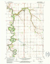
Editions of this 1964 Climax Map
2 editions found
Other maps of this area

1918 · Hendrum
USGS Topo · 1:62,500

1919 · Eldred
USGS Topo · 1:62,500

1919 · Beltrami
USGS Topo · 1:62,500

1924 · Ada
USGS Topo · 1:62,500

1952 · Grand Forks
USGS Topo · 1:250,000

1956 · Grand Forks
USGS Topo · 1:250,000

1963 · Shelly
USGS Topo · 1:24,000

1964 · Beltrami SW
USGS Topo · 1:24,000

1964 · Girard
USGS Topo · 1:24,000

1964 · Climax NW
USGS Topo · 1:24,000