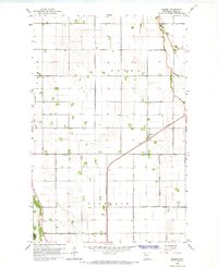
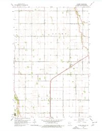
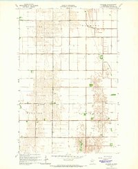
1964 Map of Eldred
USGS Topo · Published 1966About this map
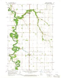
Roome and Vineland townships define this section of the Red River Valley in the mid-1960s, a landscape engineered for agriculture through an extensive network of drainage channels. The Great Northern railway cuts diagonally through the terrain, serving as the primary transit artery for the small settlement of Eldred. This rail line provided the essential link for moving crops from the surrounding fields to larger markets, anchoring the local economy.
Find a feature on this map
21 named features on this map. Tap any name to fly to it.
Don’t see what you’re looking for? This feature index may not catch every label — zoom into the map to look around manually.
Map Details
Editions of this 1964 Eldred Map
2 editions found
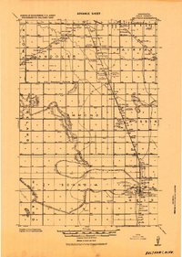
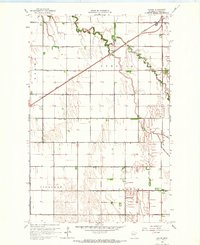
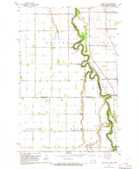
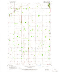
Other maps of this area

1919 · Eldred
USGS Topo · 1:62,500
1919 · Beltrami
USGS Topo · 1:62,500

1952 · Grand Forks
USGS Topo · 1:250,000
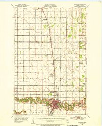
1953 · Crookston
USGS Topo · 1:62,500

1956 · Grand Forks
USGS Topo · 1:250,000
1964 · Beltrami SW
USGS Topo · 1:24,000
1964 · Girard
USGS Topo · 1:24,000
1964 · Climax NW
USGS Topo · 1:24,000
1964 · Climax SW
USGS Topo · 1:24,000
1964 · Climax
USGS Topo · 1:24,000