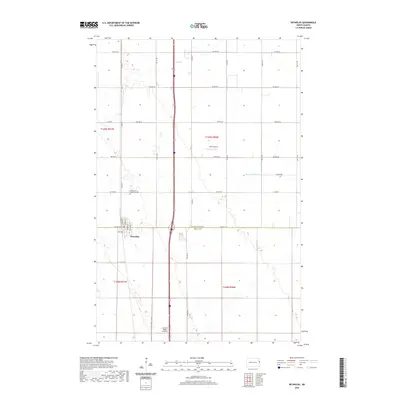
2020 Map of Reynolds
USGS Topo · Published 2020About this map
Reynolds sits along the border of Grand Forks and Traill Counties in this 2020 record of the Red River Valley’s agricultural landscape. The town is organized around a grid including Railway St, Hubbard St, and Sanborn St, reflecting a layout typical of Northern Plains railroad settlements. Just north of the town center, the Americus Saint Olaf Cem serves as a vital touchstone for local genealogy and regional history. The surrounding landscape is defined by the precision of modern water management, seen in the paths of Drain Number 27 and Drain Number 10, alongside the natural course of Cole Cr. Aviation plays a notable role in this rural area, marked by Saure Airport and the Central Valley Aviation facility located further south along the interstate corridor.
Find a feature on this map
32 named features on this map. Tap any name to fly to it.
Don’t see what you’re looking for? This feature index may not catch every label — zoom into the map to look around manually.
Map Details
Editions of this 2020 Reynolds Map
This is the sole edition of this map. No revisions or reprints were ever made.
Other maps of this area

1919 · Eldred
USGS Topo · 1:62,500

1934 · Grand Forks
USGS Topo · 1:62,500

1938 · Grand Forks
USGS Topo · 1:62,500

1952 · Grand Forks
USGS Topo · 1:250,000

1956 · Grand Forks
USGS Topo · 1:250,000

1964 · Climax NW
USGS Topo · 1:24,000

1964 · Climax SW
USGS Topo · 1:24,000
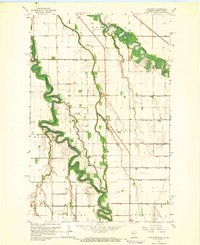
1964 · Bygland
USGS Topo · 1:24,000

1966 · Grand Forks
USGS Topo · 1:250,000
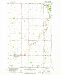
1971 · Thompson
USGS Topo · 1:24,000