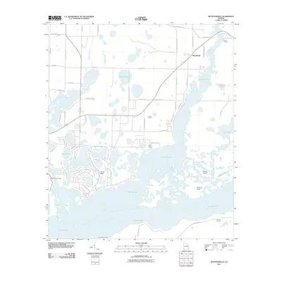
2011 Map of Reynoldsville
USGS Topo · Published 2011About this map
Lake Seminole dominates the landscape of southwest Georgia in this 2011 survey, where the Flint River meets the flooded basin. The settlement of Reynoldsville sits north of the water, surrounded by a complex network of agricultural roads and residential pockets like the Nichols Subdivision. The terrain is defined by its transition from dry timber and farmland to the intricate marshes and islands of the lake, including Sealeys Island and Fort Scott Island.
Find a feature on this map
62 named features on this map. Tap any name to fly to it.
Don’t see what you’re looking for? This feature index may not catch every label — zoom into the map to look around manually.
Map Details
Editions of this 2011 Reynoldsville Map
This is the sole edition of this map. No revisions or reprints were ever made.
Other maps of this area

1954 · Steam Mill
USGS Topo · 1:24,000

1954 · Sneads
USGS Topo · 1:24,000

1954 · Desser
USGS Topo · 1:24,000

1954 · Tallahassee
USGS Topo · 1:250,000

1955 · Fairchild
USGS Topo · 1:24,000

1955 · Reynoldsville
USGS Topo · 1:24,000

1955 · Chattahoochee
USGS Topo · 1:24,000

1955 · Bainbridge
USGS Topo · 1:62,500

1955 · Mt Pleasant
USGS Topo · 1:24,000

1959 · Tallahassee
USGS Topo · 1:250,000