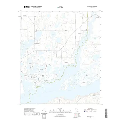
2020 Map of Reynoldsville
USGS Topo · Published 2020About this map
Lake Seminole dominates the southern landscape of this 2020 Georgia survey, where the waters meet the winding border between Seminole and Decatur counties. This modern view reveals a complex aquatic geography defined by numerous islands and inlets, including Fort Scott Island and Perkins Island. The settlement of Reynoldsville sits to the north, surrounded by a network of family-named roads such as Jack Miles Rd and Peanut Bland Rd, reflecting the agricultural heritage of the region. Local history is anchored by several burial grounds, notably Cloud Cem, Thursby Cem, and Randolph Cem. The topography is characterized by many smaller water bodies like Silver Lake, Whittakers Lake, and Buffalo Pond, which illustrate the low-lying, wetland nature of this corner of Georgia near the Florida border.
Find a feature on this map
81 named features on this map. Tap any name to fly to it.
Don’t see what you’re looking for? This feature index may not catch every label — zoom into the map to look around manually.
Map Details
Editions of this 2020 Reynoldsville Map
This is the sole edition of this map. No revisions or reprints were ever made.
Other maps of this area

1954 · Steam Mill
USGS Topo · 1:24,000

1954 · Sneads
USGS Topo · 1:24,000

1954 · Desser
USGS Topo · 1:24,000

1954 · Tallahassee
USGS Topo · 1:250,000

1955 · Fairchild
USGS Topo · 1:24,000

1955 · Reynoldsville
USGS Topo · 1:24,000

1955 · Chattahoochee
USGS Topo · 1:24,000

1955 · Bainbridge
USGS Topo · 1:62,500

1955 · Mt Pleasant
USGS Topo · 1:24,000

1959 · Tallahassee
USGS Topo · 1:250,000