Loading...
Loading map...2024 Map of Rhine
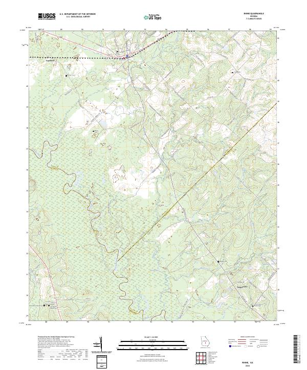
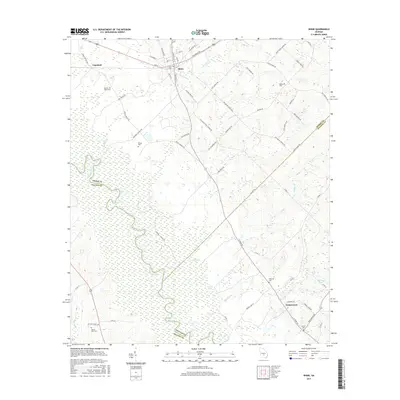
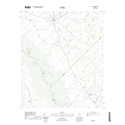
USGS Topo · Published 2024About this map
Rhine serves as the primary hub of this landscape, situated at the junction of Central St N and Sycamore St. The town's historical roots are anchored by the Rhine City Cem, while the surrounding rural countryside is dotted with family-named burial grounds and small communities such as Copeland and Temperance. To the south, the Ocmulgee River forms a significant natural boundary, winding through a complex network of wetlands and creek systems.
Find a feature on this map
70 named features on this map. Tap any name to fly to it.
Don’t see what you’re looking for? This feature index may not catch every label — zoom into the map to look around manually.
Map Details
Date Portrayed2024
Date Published2024
PublisherU.S. Geological Survey
Map TypeTopographic
Scale1:24,000
Physical Dimensions24 x 29 inches
Editions of this 2024 Rhine Map
This is the sole edition of this map. No revisions or reprints were ever made.
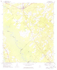
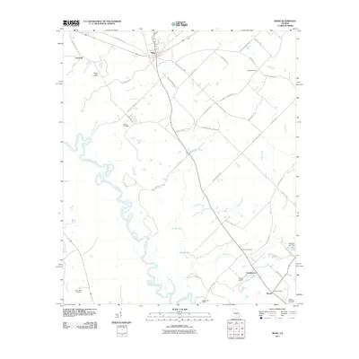
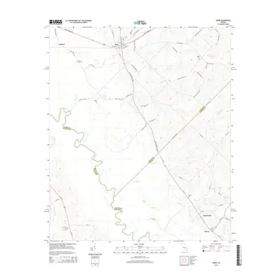
Historical Maps of Rhine Through Time
6 maps found
Featured Locations
Source Details
SourceU.S. Geological Survey
CopyrightPublic Domain