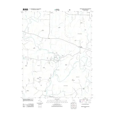
2011 Map of Rhodes Mountain
USGS Topo · Published 2011About this map
Silver Mine and the remnants of the local mining industry dominate this Madison County landscape, where the Saint Francis River and its tributaries cut through the high peaks of the eastern Ozarks. The geography is defined by a dense network of family-named peaks and hollows, including Tin Mine Mountain, Trackler Mountain, and Grainer Ridge. This 2011 survey records the intersection of industrial heritage and recreation, particularly at the Silver Mines Campground and Silver Mines Picnic Area near the Silver Mine Dam. Small settlements such as Lance, Oak Grove, and the uniquely named Creek Nation are documented alongside numerous family burial grounds like Royer Cemetery and Wilson Cemetery. Water features like Tiemann Shut-in and the Little Saint Francis River highlight the complex hydrology of this mineral-rich region.
Find a feature on this map
88 named features on this map. Tap any name to fly to it.
Don’t see what you’re looking for? This feature index may not catch every label — zoom into the map to look around manually.
Map Details
Editions of this 2011 Rhodes Mountain Map
This is the sole edition of this map. No revisions or reprints were ever made.
Other maps of this area

1926 · Des Arc
USGS Topo · 1:62,500

1929 · Des Arc
USGS Topo · 1:62,500

1930 · Coldwater
USGS Topo · 1:62,500

1937 · Ironton
USGS Topo · 1:48,000

1939 · Fredericktown
USGS Topo · 1:48,000

1945 · Ironton
USGS Topo · 1:62,500

1946 · Ironton
USGS Topo · 1:62,500

1947 · Fredericktown
USGS Topo · 1:62,500

1949 · Rolla
USGS Topo · 1:250,000

1949 · Coldwater
USGS Topo · 1:62,500