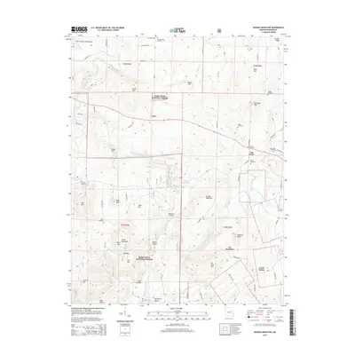
2015 Map of Rhodes Mountain
USGS Topo · Published 2015About this map
The Saint Francis River and its various forks define the landscape of this Madison County region within the Mark Twain National Forest. The map documents a rugged interior of the Saint Francois Mountains, where industry and geography meet at locations like the Silver Mines Dam and Tin Mine Mtn. These labels point to the area's mineral history, particularly near the Mud Creek Shut-in.
Find a feature on this map
83 named features on this map. Tap any name to fly to it.
Don’t see what you’re looking for? This feature index may not catch every label — zoom into the map to look around manually.
Map Details
Editions of this 2015 Rhodes Mountain Map
This is the sole edition of this map. No revisions or reprints were ever made.
Other maps of this area

1926 · Des Arc
USGS Topo · 1:62,500

1929 · Des Arc
USGS Topo · 1:62,500

1930 · Coldwater
USGS Topo · 1:62,500

1937 · Ironton
USGS Topo · 1:48,000

1939 · Fredericktown
USGS Topo · 1:48,000

1945 · Ironton
USGS Topo · 1:62,500

1946 · Ironton
USGS Topo · 1:62,500

1947 · Fredericktown
USGS Topo · 1:62,500

1949 · Rolla
USGS Topo · 1:250,000

1949 · Coldwater
USGS Topo · 1:62,500