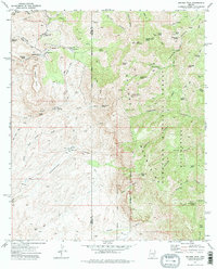
1972 Map of Rhodes Peak
USGS Topo · Published 1975About this map
The Galiuro Mountains dominate this 1970s landscape, where deep canyons and high ridges define the boundary between Pinal and Graham counties. Mining operations like the Magma Mine and Bunker Hill Mine are prominent in the northwest near Sombrero Butte, signaling the area's geological and industrial history. The terrain is marked by a network of ranching outposts including Mercer Ranch and Rhodes Ranch, linked by a system of jeep trails and pack trails that navigate the complex drainage systems of Fourmile Creek and Cienega Wash. High-altitude springs such as Biscuit Peak Spring and Cake Mountain Spring provided essential water sources in this arid environment, which is largely protected within the Coronado National Forest and the Galiuro Wilderness. This survey captures a moment of transition between active resource extraction and the preservation of the mountain landscape.
Find a feature on this map
56 named features on this map. Tap any name to fly to it.
Don’t see what you’re looking for? This feature index may not catch every label — zoom into the map to look around manually.
Map Details
Editions of this 1972 Rhodes Peak Map
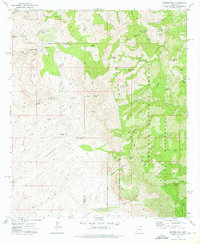
2 editions found
Other maps of this area

1911 · Winkelman
USGS Topo · 1:125,000

1913 · Winkelman
USGS Topo · 1:125,000

1938 · Galiuro Mts
USGS Topo · 1:48,000

1938 · Klondyke
USGS Topo · 1:48,000

1943 · Galiuro Mts
USGS Topo · 1:62,500

1943 · Klondyke
USGS Topo · 1:62,500

1948 · Clark Ranch
USGS Topo · 1:24,000

1948 · Mammoth
USGS Topo · 1:62,500

1948 · Peppersauce Wash
USGS Topo · 1:24,000

1949 · Clark Ranch
USGS Topo · 1:24,000