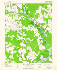
1944 Map of Rhodesdale
USGS Topo · Published 1962About this map
Marshy Hope Creek snakes through the heart of the Dorchester County landscape, defining the character of this Eastern Shore region during the mid-1940s. The Baltimore and Eastern railroad serves as the primary inland spine, connecting rural settlements like Rhodesdale and Reids Grove to the larger hub of Hurlock. The map illustrates a transitional period where river-borne commerce and early rail infrastructure coexist, evidenced by the presence of Ennalls Wharf and Walnut Landing alongside the steel tracks.
Find a feature on this map
29 named features on this map. Tap any name to fly to it.
Don’t see what you’re looking for? This feature index may not catch every label — zoom into the map to look around manually.
Map Details
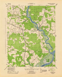
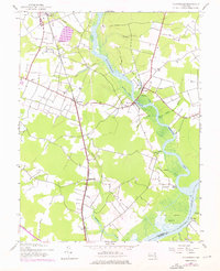
Editions of this 1944 Rhodesdale Map
3 editions found
Other maps of this area

1901 · Salisbury
USGS Topo · 1:62,500

1903 · Nanticoke
USGS Topo · 1:62,500

1905 · Hurlock
USGS Topo · 1:62,500

1915 · Seaford
USGS Topo · 1:62,500

1942 · Mardela Springs
USGS Topo · 1:24,000

1942 · Hebron
USGS Topo · 1:24,000
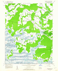
1942 · Chicamacomico
USGS Topo · 1:24,000
1943 · Chicamacomico
USGS Topo · 1:31,680
1943 · Mardela Springs
USGS Topo · 1:31,680

1943 · Hebron
USGS Topo · 1:31,680