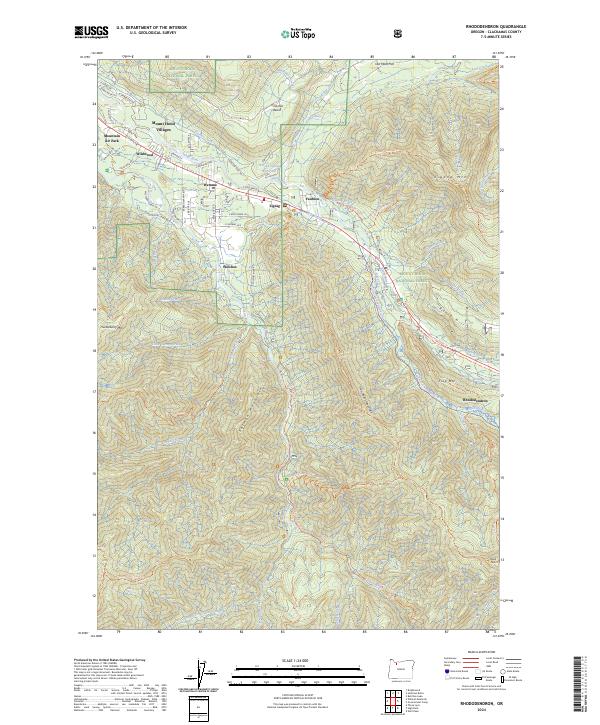
2024 Map of Rhododendron
USGS Topo · Published 2024About this map
The Mount Hood National Forest corridor along the Sandy River and Zigzag River is defined by a dense string of mountain communities, including Wemme, Welches, Zigzag, and Rhododendron. This 2024 map details the modern landscape where residential pockets like Wildwood and Mountain Air Park meet protected wilderness areas. The geography is dominated by high ridges such as Hunchback Mountain and Enola Hill, while the Salmon-Huckleberry Wilderness protects the southern reaches of the quadrangle. A vast network of hiking and historic routes, including the Pioneer Bridle Trl and Bonanza Trl, reflects the area's transition from an early pioneer thoroughfare to a premier outdoor recreation hub. The presence of the Kloshe Chuck Reservoir and numerous named creeks like Still Creek and Hackett Creek highlights the critical watershed management within these forested lands.
Find a feature on this map
77 named features on this map. Tap any name to fly to it.
Don’t see what you’re looking for? This feature index may not catch every label — zoom into the map to look around manually.
Map Details
Editions of this 2024 Rhododendron Map
This is the sole edition of this map. No revisions or reprints were ever made.
Other maps of this area

1916 · Estacada
USGS Topo · 1:125,000

1924 · Mount Hood
USGS Topo · 1:125,000

1927 · Mount Hood
USGS Topo · 1:125,000

1948 · Vancouver
USGS Topo · 1:250,000

1950 · Vancouver
USGS Topo · 1:250,000

1950 · Vancouver
USGS Topo · 1:250,000

1953 · The Dalles
USGS Topo · 1:250,000

1955 · Cherryville
USGS Topo · 1:62,500

1956 · The Dalles
USGS Topo · 1:250,000

1956 · Fish Creek Mtn
USGS Topo · 1:62,500