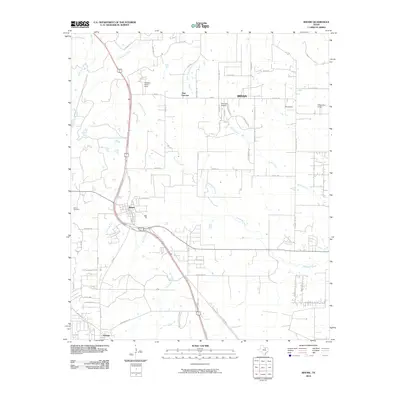
2010 Map of Rhome
USGS Topo · Published 2010About this map
Rhome serves as the central hub of this North Texas landscape, where the intersection of major transit routes meets a network of local roads and cattle-country history. The terrain is defined by the branching waterways of the Trinity River basin, including Elizabeth Creek, Derrett Creek, and Hackberry Creek. Aviation history is well-represented by several small landing facilities such as Fairview Airport, JW Airport, and Willow Run Airport, alongside the Hawkins Ranch Strip north of the main settlement.
Find a feature on this map
61 named features on this map. Tap any name to fly to it.
Don’t see what you’re looking for? This feature index may not catch every label — zoom into the map to look around manually.
Map Details
Editions of this 2010 Rhome Map
This is the sole edition of this map. No revisions or reprints were ever made.
Other maps of this area

1891 · Weatherford
USGS Topo · 1:125,000

1893 · Weatherford
USGS Topo · 1:125,000

1894 · Fort Worth
USGS Topo · 1:125,000

1924 · Sunset 4-d
USGS Topo · 1:48,000

1930 · Boyd
USGS Topo · 1:62,500

1932 · Springtown
USGS Topo · 1:62,500

1954 · Dallas
USGS Topo · 1:250,000

1954 · Sherman
USGS Topo · 1:250,000

1955 · Avondale
USGS Topo · 1:24,000

1955 · Azle
USGS Topo · 1:24,000