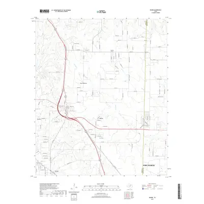
2019 Map of Rhome
USGS Topo · Published 2019About this map
New Fairview and Rhome anchor this north Texas landscape near the transition between the rolling prairie and the outskirts of the modern Metroplex. The geography is defined by a dense network of watercourses, including Elizabeth Creek, Blue Creek, and Hackberry Creek, which carve through the terrain. The map captures a mix of rural heritage and aviation, with small landing strips like Fairview Airport, Howard Field, and JW Airport scattered among residential developments. Local history is deeply embedded in the road names, where paths like the Old Chisholm Trail and Conestoga Trail recall the region's cattle-driving past. Further south, the settlement of Newark sits near the edges of the growing reach of Fort Worth, while the Aurora Cemetery remains a point of local interest near the town of Aurora.
Find a feature on this map
120 named features on this map. Tap any name to fly to it.
Don’t see what you’re looking for? This feature index may not catch every label — zoom into the map to look around manually.
Map Details
Editions of this 2019 Rhome Map
This is the sole edition of this map. No revisions or reprints were ever made.
Other maps of this area

1891 · Weatherford
USGS Topo · 1:125,000

1893 · Weatherford
USGS Topo · 1:125,000

1894 · Fort Worth
USGS Topo · 1:125,000

1924 · Sunset 4-d
USGS Topo · 1:48,000

1930 · Boyd
USGS Topo · 1:62,500

1932 · Springtown
USGS Topo · 1:62,500

1954 · Dallas
USGS Topo · 1:250,000

1954 · Sherman
USGS Topo · 1:250,000

1955 · Avondale
USGS Topo · 1:24,000

1955 · Azle
USGS Topo · 1:24,000