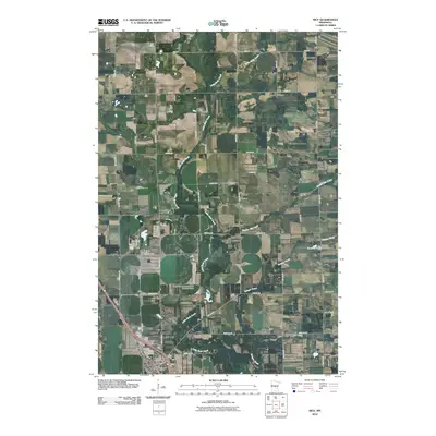
2010 Map of Rice
USGS Topo · Published 2010About this map
The town of Rice anchors the southwest corner of this landscape, where the Rice Post Office and Immaculate Conception Cemetery serve as local landmarks for the community. The surrounding countryside is defined by a dense network of township roads and agricultural properties, divided by the winding courses of Little Rock Creek and Zuleger Creek. A notable engineering feature, the Little Rock Creek Impoundment Structure Dam, regulates the water flow in the central part of the quadrangle, while Graham Lake sits quietly in the east. This 2010 survey illustrates the organized grid of rural Minnesota, with roads like Nature Rd and Angus Rd connecting scattered farmsteads across the undulating terrain. The drainage patterns of Bunker Hill Creek and its tributaries further characterize the local geography, highlighting the importance of water management in this agricultural region.
Find a feature on this map
42 named features on this map. Tap any name to fly to it.
Don’t see what you’re looking for? This feature index may not catch every label — zoom into the map to look around manually.
Map Details
Editions of this 2010 Rice Map
This is the sole edition of this map. No revisions or reprints were ever made.
Other maps of this area

1948 · Pierz
USGS Topo · 1:62,500

1948 · Little Falls
USGS Topo · 1:62,500

1950 · Little Falls
USGS Topo · 1:62,500

1950 · Pierz
USGS Topo · 1:62,500

1950 · St. Cloud
USGS Topo · 1:62,500

1953 · Saint Cloud
USGS Topo · 1:250,000

1957 · Saint Cloud
USGS Topo · 1:250,000

1958 · Saint Cloud
USGS Topo · 1:250,000

1965 · St Stephen
USGS Topo · 1:24,000
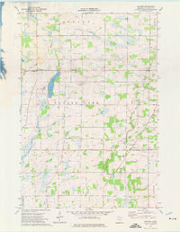
1974 · Mayhew
USGS Topo · 1:24,000