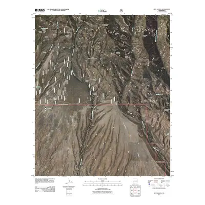
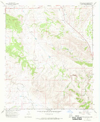
2011 Map of Rice Ranch
USGS Topo · Published 2011About this map
Rice Ranch and the nearby Seventy Four Ranch anchor this landscape in western New Mexico, illustrating a region where ranching and mineral exploration define the land use. The terrain is marked by a high concentration of mining prospects and historic workings, including the Sacaton Mine, Uncle John Mine, and the Alexander Mine. These sites, alongside smaller operations like the Lower Little Dry Creek Working, suggest a history of prospecting that sought to tap into the mineral-rich geology of the Gila Wilderness area.
Find a feature on this map
35 named features on this map. Tap any name to fly to it.
Don’t see what you’re looking for? This feature index may not catch every label — zoom into the map to look around manually.
Map Details
Editions of this 2011 Rice Ranch Map
This is the sole edition of this map. No revisions or reprints were ever made.
Other maps of this area

1910 · Mogollon
USGS Topo · 1:125,000

1912 · Mogollon
USGS Topo · 1:125,000

1954 · Clifton
USGS Topo · 1:250,000

1957 · Clifton
USGS Topo · 1:250,000

1958 · Clifton
USGS Topo · 1:250,000

1962 · Clifton
USGS Topo · 1:250,000
1965 · Canteen Canyon
USGS Topo · 1:24,000
1965 · Rice Ranch
USGS Topo · 1:24,000
1965 · Holt Mountain
USGS Topo · 1:24,000
1965 · Bear Mountain
USGS Topo · 1:24,000