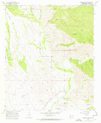
1965 Map of Canteen Canyon
USGS Topo · Published 1969About this map
Mogollon Creek and the Gila River carve a complex drainage system through this corner of the Gila National Forest in the mid-1960s. The landscape is defined by massive plateau features like Mud Spring Mesa and Wild Horse Mesa, which rise above a network of deep canyons including Bell Canyon and Winn Canyon. Human presence is concentrated near the river, where the Fort West Ditch and an Aqueduct indicate historical water management for local agriculture and ranching. Small settlements and named family sites like Maldonado and Guerrero are found in the south, while the northern reaches remain protected within the Gila Wilderness. Local history researchers will find the Maldonado Cem and isolated landmarks such as the 916 Ranch providing important genealogical anchors for this remote Grant County terrain.
Find a feature on this map
33 named features on this map. Tap any name to fly to it.
Don’t see what you’re looking for? This feature index may not catch every label — zoom into the map to look around manually.
Map Details
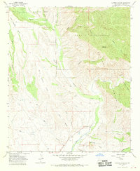
Editions of this 1965 Canteen Canyon Map
2 editions found
Other maps of this area

1909 · Silver City
USGS Topo · 1:125,000

1910 · Mogollon
USGS Topo · 1:125,000

1911 · Alum Mountain
USGS Topo · 1:125,000

1912 · Mogollon
USGS Topo · 1:125,000

1913 · Alum Mountain
USGS Topo · 1:125,000

1950 · Dorsey Ranch
USGS Topo · 1:24,000

1951 · Dorsey Ranch
USGS Topo · 1:24,000

1954 · Silver City
USGS Topo · 1:250,000

1954 · Clifton
USGS Topo · 1:250,000

1957 · Clifton
USGS Topo · 1:250,000