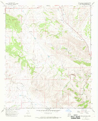
1965 Map of Bear Mountain
USGS Topo · Published 1969About this map
Bear Valley and the high peaks of the Mule Mountains define this high-desert landscape in Grant County, recorded during a mid-1960s field check. The area is a network of drainage canyons and cattle ranching outposts, where the H Bar Y Ranch and Old Jackson Ranch occupy strategic positions near Buckhorn Creek and Duck Creek. The mapping reveals a sparse but established human presence, marked by isolated Graves and several water management features like Mallet Pond and Lower Goat Canyon Tank.
Find a feature on this map
21 named features on this map. Tap any name to fly to it.
Don’t see what you’re looking for? This feature index may not catch every label — zoom into the map to look around manually.
Map Details
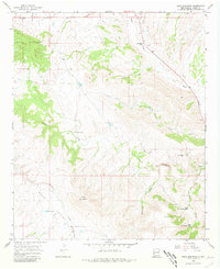
Editions of this 1965 Bear Mountain Map
2 editions found
Other maps of this area

1910 · Mogollon
USGS Topo · 1:125,000

1912 · Mogollon
USGS Topo · 1:125,000

1954 · Silver City
USGS Topo · 1:250,000

1954 · Clifton
USGS Topo · 1:250,000

1957 · Clifton
USGS Topo · 1:250,000

1958 · Silver City
USGS Topo · 1:250,000

1958 · Clifton
USGS Topo · 1:250,000

1959 · Steeple Rock
USGS Topo · 1:62,500

1959 · Cliff
USGS Topo · 1:62,500

1962 · Silver City
USGS Topo · 1:250,000