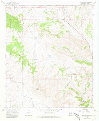
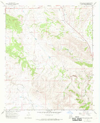
1965 Map of Bear Mountain
USGS Topo · Published 1981About this map
Bear Valley and the high peaks of the Mule Mountains characterize this Grant County landscape as it was documented in the mid-1960s. The area's ranching heritage is anchored by the Old Jackson Ranch and the H Bar Y Ranch, connected by primitive tracks and a Jeep Trail that traverse the complex network of drainage basins. Water management for livestock is evident through numerous named catchments, including the Lower Goat Canyon Tank, Upper Goat Canyon Tank, and Mallet Pond.
Find a feature on this map
21 named features on this map. Tap any name to fly to it.
Don’t see what you’re looking for? This feature index may not catch every label — zoom into the map to look around manually.
Map Details
Editions of this 1965 Bear Mountain Map
2 editions found
Other maps of this area

1910 · Mogollon
USGS Topo · 1:125,000

1912 · Mogollon
USGS Topo · 1:125,000

1954 · Silver City
USGS Topo · 1:250,000

1954 · Clifton
USGS Topo · 1:250,000

1957 · Clifton
USGS Topo · 1:250,000

1958 · Silver City
USGS Topo · 1:250,000

1958 · Clifton
USGS Topo · 1:250,000

1959 · Steeple Rock
USGS Topo · 1:62,500

1959 · Cliff
USGS Topo · 1:62,500

1962 · Silver City
USGS Topo · 1:250,000