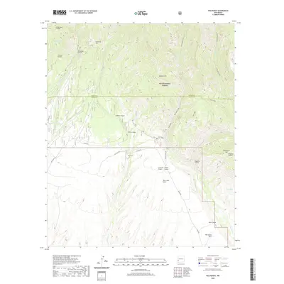
2020 Map of Rice Ranch
USGS Topo · Published 2020About this map
Rice Ranch serves as the namesake hub in this corner of the Gila National Forest, situated near the boundary where Catron and Grant counties meet. This high-altitude landscape is defined by its deep drainages and sharp relief, including White Rock Canyon, Mogollon Canyon, and Deadman Canyon. The presence of White Rocks Spring and Little Dry Spring indicates the critical role of reliable water sources in this arid timberland, while livestock infrastructure is noted at Sacaton South Tank and West Tank.
Find a feature on this map
38 named features on this map. Tap any name to fly to it.
Don’t see what you’re looking for? This feature index may not catch every label — zoom into the map to look around manually.
Map Details
Editions of this 2020 Rice Ranch Map
This is the sole edition of this map. No revisions or reprints were ever made.
Other maps of this area
1910 · Mogollon
USGS Topo · 1:125,000
1912 · Mogollon
USGS Topo · 1:125,000

1954 · Clifton
USGS Topo · 1:250,000

1957 · Clifton
USGS Topo · 1:250,000

1958 · Clifton
USGS Topo · 1:250,000
1962 · Clifton
USGS Topo · 1:250,000
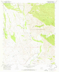
1965 · Canteen Canyon
USGS Topo · 1:24,000
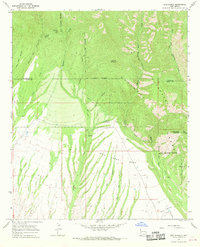
1965 · Rice Ranch
USGS Topo · 1:24,000
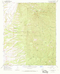
1965 · Holt Mountain
USGS Topo · 1:24,000
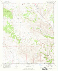
1965 · Bear Mountain
USGS Topo · 1:24,000