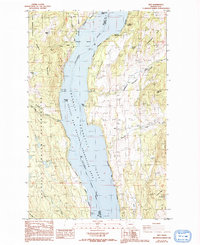
1985 Map of Rice
USGS Topo · Published 1993About this map
Franklin D Roosevelt Lake dominates the center of this Stevens County landscape, where the Columbia River forms the boundary between the Colville National Forest and the Coulee Dam National Recreation Area. The eastern shore features the settlement of Rice, established alongside agricultural and mining operations. Further inland, Chalk Grade Flat and Heidegger Hill define the rising terrain, which is segmented by several drainages including Quillisacut Creek and Cheweka Creek. On the western shore, the Indian Reservation boundary lines the slopes of Staehly Mountain, a region marked by the isolated Staehly Ranch and Cuba Canyon. Evidence of early industrial activity persists at the Big Lake Mine and a local Gravel Pit near Prospect, while the recreational value of the impounded river is noted through the Barnaby Island Campsite and Rotter Bay.
Find a feature on this map
44 named features on this map. Tap any name to fly to it.
Don’t see what you’re looking for? This feature index may not catch every label — zoom into the map to look around manually.
Map Details
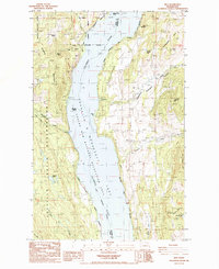
Editions of this 1985 Rice Map
2 editions found
Other maps of this area

1936 · Marcus
USGS Topo · 1:96,000

1942 · Marcus
USGS Topo · 1:125,000

1948 · Sherman Peak
USGS Topo · 1:62,500

1948 · Kettle Falls
USGS Topo · 1:62,500

1950 · Inchelium
USGS Topo · 1:62,500

1951 · Sherman Peak
USGS Topo · 1:62,500

1951 · Kettle Falls
USGS Topo · 1:62,500

1952 · Twin Lakes
USGS Topo · 1:62,500

1954 · Okanogan
USGS Topo · 1:250,000

1958 · Okanogan
USGS Topo · 1:250,000