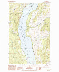
1985 Map of Rice
USGS Topo · Published 1985About this map
The Columbia River corridor dominates this 1985 survey, where the waters of Lake Roosevelt have submerged the original riverbanks to form the Coulee Dam National Recreation Area. The settlement of Rice and the nearby Harvey sit on the eastern benches above the lake, while the rugged western shore is defined by the Colville Indian Reservation and the steep slopes of Staehly Mountain.
Find a feature on this map
41 named features on this map. Tap any name to fly to it.
Don’t see what you’re looking for? This feature index may not catch every label — zoom into the map to look around manually.
Map Details
Editions of this 1985 Rice Map
2 editions found
Other maps of this area

1936 · Marcus
USGS Topo · 1:96,000

1942 · Marcus
USGS Topo · 1:125,000

1948 · Sherman Peak
USGS Topo · 1:62,500

1948 · Kettle Falls
USGS Topo · 1:62,500

1950 · Inchelium
USGS Topo · 1:62,500

1951 · Sherman Peak
USGS Topo · 1:62,500

1951 · Kettle Falls
USGS Topo · 1:62,500

1952 · Twin Lakes
USGS Topo · 1:62,500

1954 · Okanogan
USGS Topo · 1:250,000

1958 · Okanogan
USGS Topo · 1:250,000