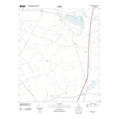
2011 Map of Riceboro
USGS Topo · Published 2011About this map
Riceboro and its surrounding wetlands occupy this coastal Georgia landscape, where the tides of the North Newport River and South Newport River reach deep into the interior. The settlement pattern follows the high ground between these drainages, with small communities like Retreat and Lecount connected by a network of rural routes such as Sandy Run Rd and Lecount Rd. Historical transit and industry are marked by Brewsters Siding and the Chemical Plant Rd, indicating the mix of traditional transport and modern enterprise in the region.
Find a feature on this map
45 named features on this map. Tap any name to fly to it.
Don’t see what you’re looking for? This feature index may not catch every label — zoom into the map to look around manually.
Map Details
Editions of this 2011 Riceboro Map
This is the sole edition of this map. No revisions or reprints were ever made.
Other maps of this area

1918 · Hinesville
USGS Topo · 1:62,500

1920 · Sapelo River
USGS Topo · 1:62,500

1920 · Limerick
USGS Topo · 1:62,500

1943 · Ludowici
USGS Topo · 1:62,500

1943 · Sapelo River
USGS Topo · 1:62,500

1944 · Hinesville
USGS Topo · 1:62,500

1944 · Limerick
USGS Topo · 1:62,500

1945 · Sapelo River
USGS Topo · 1:62,500

1946 · Brunswick
USGS Topo · 1:250,000

1948 · Brunswick
USGS Topo · 1:250,000