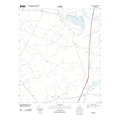
2024 Map of Riceboro
USGS Topo · Published 2024About this map
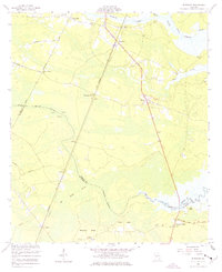
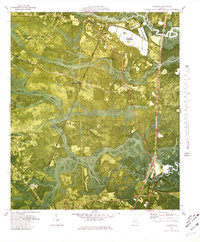
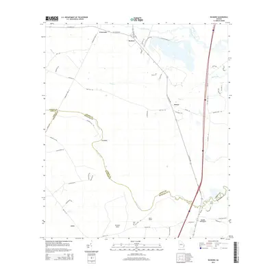
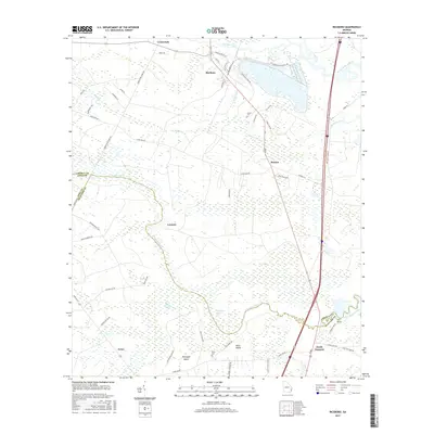
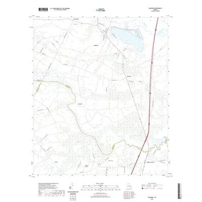
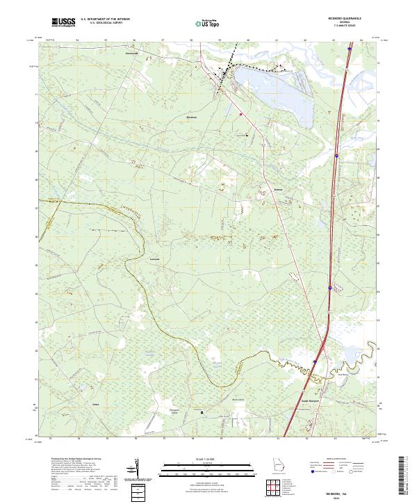
Riceboro stands at the heart of this coastal Georgia landscape, where the tides of the Riceboro Creek and North Newport River dictate the local geography. The map reveals a transition from managed timberlands and swamps to established coastal settlements. Small communities like Retreat and South Newport are connected by a network of historic routes, including Barrington Ferry Rd and Old Hwy 17 NE. The presence of Pando Cem and Davis Cem provides specific points of interest for genealogists tracing local families. The terrain is defined by its low-lying features, most notably Big Mortar Swamp and Bull Town Swamp, while raised areas such as Horsepen Island and Black Island punctuate the wetlands. Near the confluence of the river systems, Fort Point marks a strategic location along the winding South Newport River.
Find a feature on this map
58 named features on this map. Tap any name to fly to it.
Don’t see what you’re looking for? This feature index may not catch every label — zoom into the map to look around manually.
Map Details
Editions of this 2024 Riceboro Map
This is the sole edition of this map. No revisions or reprints were ever made.
Historical Maps of Riceboro Through Time
7 maps found