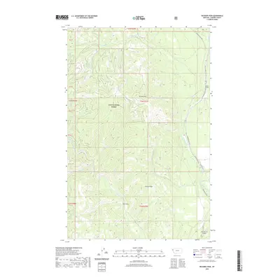
2020 Map of Richards Peak
USGS Topo · Published 2020About this map
The Lolo National Forest dominates this mountain landscape, centered on the high point of Richards Peak. The terrain is defined by a series of steep drainages including Meadow Cr, Young Cr, and Fishtrap Cr that feed into the larger river systems. The Thompson River corridor serves as the primary artery for travel and timber management, flanked by the Thompson River Co Rd and Plum Cr-Tmbr Co Rd. This road network highlights the intersection of public land management and industrial timber interests in Sanders County. Localized geography is further detailed through named features like the prominent McCully Ridge, the clearing at Indian Prairie, and the dramatic Hell Roaring Canyon in the southeast corner. The map also traces the Fisher River and numerous smaller tributaries such as Beatrice Cr and Chippy Cr, documenting the complex watershed of this portion of the Northern Rockies.
Find a feature on this map
33 named features on this map. Tap any name to fly to it.
Don’t see what you’re looking for? This feature index may not catch every label — zoom into the map to look around manually.
Map Details
Editions of this 2020 Richards Peak Map
This is the sole edition of this map. No revisions or reprints were ever made.
Other maps of this area

1937 · Thompson Falls
USGS Topo · 1:125,000

1956 · Wallace
USGS Topo · 1:250,000

1960 · Wallace
USGS Topo · 1:250,000

1964 · Calico Creek
USGS Topo · 1:24,000
1964 · Priscilla Peak
USGS Topo · 1:24,000
1964 · Cook Mountain
USGS Topo · 1:24,000
1964 · Shroder Creek
USGS Topo · 1:24,000
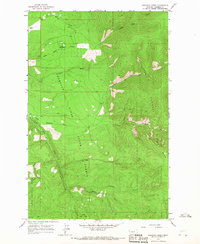
1964 · Loneman Creek
USGS Topo · 1:24,000
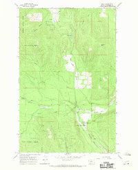
1966 · Bend
USGS Topo · 1:24,000
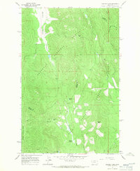
1966 · Mantrap Fork
USGS Topo · 1:24,000