1966 Map of Richards Peak
USGS Topo · Published 1971About this map
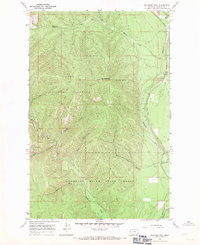
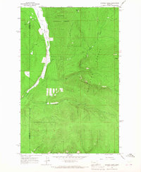
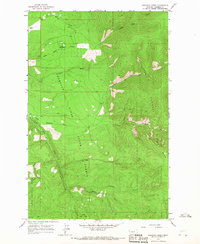
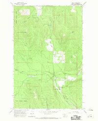
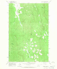
Richards Peak stands as the central landmark of this mid-1960s terrain, marking the high ground within the Lolo National Forest. The landscape is defined by a dense network of watercourses, where Meadow Creek and Daisy Creek drain the western slopes while the Thompson River winds through the eastern valley. This survey captures a moment when the region was managed for both timber and conservation, split between federal lands and the Thompson River State Forest. The inclusion of a Pack Trail and a designated Lookout on the peak illustrates the era's reliance on traditional fire management and backcountry access routes. Further south, the map details the complex drainage of Fishtrap Creek and Mc Curry Creek, providing an exact record of the topography before significant modern developments altered these forest watersheds.
Find a feature on this map
23 named features on this map. Tap any name to fly to it.
Don’t see what you’re looking for? This feature index may not catch every label — zoom into the map to look around manually.
Map Details
Editions of this 1966 Richards Peak Map
This is the sole edition of this map. No revisions or reprints were ever made.
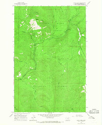
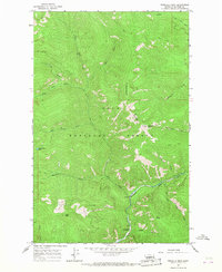
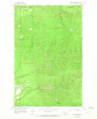
Other maps of this area

1937 · Thompson Falls
USGS Topo · 1:125,000

1956 · Wallace
USGS Topo · 1:250,000

1960 · Wallace
USGS Topo · 1:250,000
1964 · Calico Creek
USGS Topo · 1:24,000
1964 · Priscilla Peak
USGS Topo · 1:24,000
1964 · Cook Mountain
USGS Topo · 1:24,000
1964 · Shroder Creek
USGS Topo · 1:24,000
1964 · Loneman Creek
USGS Topo · 1:24,000
1966 · Bend
USGS Topo · 1:24,000
1966 · Mantrap Fork
USGS Topo · 1:24,000