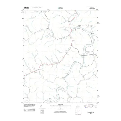
2010 Map of Richardson
USGS Topo · Published 2010About this map
Louisa Fork serves as the central artery for this part of Lawrence County, where small communities and family-named branches define the geography. The settlement at Richardson and the nearby Lowmansville Post Office highlight a persistent pattern of rural Kentucky life, where post offices and river forks anchor the identity of the valley. Narrow winding roads like Walnut Grove Church Rd and Crestley Branch Rd trace the path of numerous creeks, including Nats Creek and Georges Creek, which carve deep into the plateau.
Find a feature on this map
96 named features on this map. Tap any name to fly to it.
Don’t see what you’re looking for? This feature index may not catch every label — zoom into the map to look around manually.
Map Details
Editions of this 2010 Richardson Map
This is the sole edition of this map. No revisions or reprints were ever made.
Other maps of this area

1886 · Prestonsburg
USGS Topo · 1:125,000

1892 · Prestonsburg
USGS Topo · 1:125,000

1903 · Kenova
USGS Topo · 1:125,000

1904 · Kenova
USGS Topo · 1:125,000

1911 · Louisa
USGS Topo · 1:48,000

1913 · Louisa
USGS Topo · 1:62,500

1914 · Inez
USGS Topo · 1:48,000

1915 · Paintsville
USGS Topo · 1:48,000

1916 · Inez
USGS Topo · 1:62,500

1917 · Paintsville
USGS Topo · 1:62,500