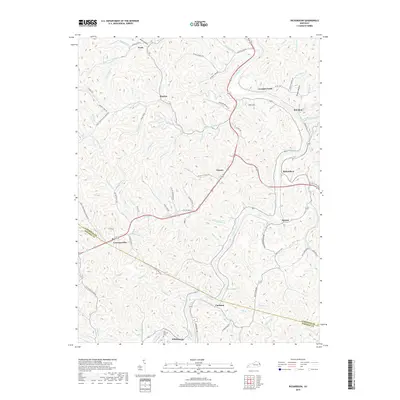
2019 Map of Richardson
USGS Topo · Published 2019About this map
The Levisa Fork river cuts a deep, winding path through the borderlands of Lawrence and Johnson counties, anchoring the small communities and rural networks of this Appalachian corridor. Settlements such as Richardson, Lowmansville, and Whitehouse are connected by a web of branch roads and creek-side trails, reflecting the traditional settlement patterns of the Big Sandy River valley. In the southern portion of the map, the Son Butcher Cem stands near the confluence of several small branches, providing a specific point of interest for genealogical research in this long-inhabited region.
Find a feature on this map
118 named features on this map. Tap any name to fly to it.
Don’t see what you’re looking for? This feature index may not catch every label — zoom into the map to look around manually.
Map Details
Editions of this 2019 Richardson Map
This is the sole edition of this map. No revisions or reprints were ever made.
Other maps of this area

1886 · Prestonsburg
USGS Topo · 1:125,000

1892 · Prestonsburg
USGS Topo · 1:125,000

1903 · Kenova
USGS Topo · 1:125,000

1904 · Kenova
USGS Topo · 1:125,000

1911 · Louisa
USGS Topo · 1:48,000

1913 · Louisa
USGS Topo · 1:62,500

1914 · Inez
USGS Topo · 1:48,000

1915 · Paintsville
USGS Topo · 1:48,000

1916 · Inez
USGS Topo · 1:62,500

1917 · Paintsville
USGS Topo · 1:62,500