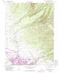
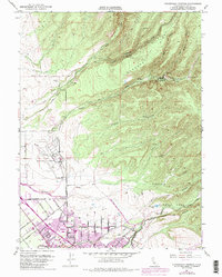
1951 Map of Richardson Springs
USGS Topo · Published 1985About this map
Richardson Springs sits at the edge of the foothills where the volcanic slopes of Cohasset Ridge meet the northern Sacramento Valley. This map, based on 1951 surveys with 1969 urban updates, reveals the northward expansion of Chico as it began to encompass old agricultural lands and orchards. The transition from the rugged drainage of Iron Canyon Creek and Mud Creek to the organized street grids of the valley floor is punctuated by the presence of the Chico Municipal Airport and sprawling parklands.
Find a feature on this map
43 named features on this map. Tap any name to fly to it.
Don’t see what you’re looking for? This feature index may not catch every label — zoom into the map to look around manually.
Map Details
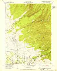
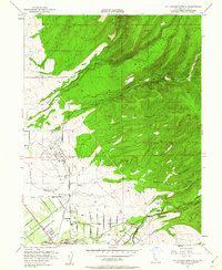
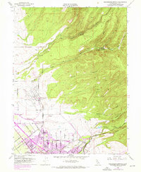
Editions of this 1951 Richardson Springs Map
5 editions found
Other maps of this area

1891 · Chico
USGS Topo · 1:125,000

1893 · Chico
USGS Topo · 1:125,000

1895 · Chico
USGS Topo · 1:125,000

1912 · Durham
USGS Topo · 1:31,680

1912 · Nord
USGS Topo · 1:31,680

1912 · Chico Landing
USGS Topo · 1:31,680

1912 · Keefers
USGS Topo · 1:31,680

1912 · Clear Creek
USGS Topo · 1:31,680

1912 · Singer Creek
USGS Topo · 1:31,680

1942 · Oroville
USGS Topo · 1:62,500