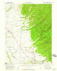
1952 Map of Richardson Springs
USGS Topo · Published 1959About this map
Richardson Springs sits at the geological transition where the Sacramento Valley floor meets the rising volcanic ridges of the Lassen National Forest. Surveyed in the early 1950s, this landscape is defined by a series of parallel canyons and ridges—including Keefer Ridge and Anderson Ridge—carved by waterways like Mud Creek and Rock Creek. To the west, the valley floor is dominated by agricultural development and early transport corridors, anchored by the Southern Pacific railroad and the small settlements of Cana and Nord.
Find a feature on this map
68 named features on this map. Tap any name to fly to it.
Don’t see what you’re looking for? This feature index may not catch every label — zoom into the map to look around manually.
Map Details
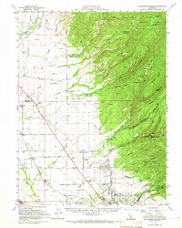
Editions of this 1952 Richardson Springs Map
2 editions found
Other maps of this area

1886 · Lassen Peak
USGS Topo · 1:250,000

1890 · Red Bluff
USGS Topo · 1:250,000

1891 · Chico
USGS Topo · 1:125,000

1892 · Lassen Peak
USGS Topo · 1:250,000

1893 · Chico
USGS Topo · 1:125,000

1894 · Lassen Peak
USGS Topo · 1:250,000

1894 · Red Bluff
USGS Topo · 1:250,000

1895 · Chico
USGS Topo · 1:125,000

1904 · Vina
USGS Topo · 1:62,500

1905 · Tehama
USGS Topo · 1:62,500