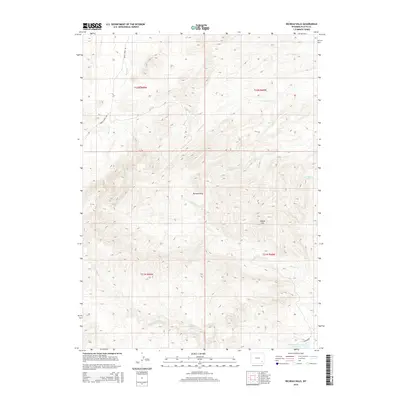
2015 Map of Richeau Hills
USGS Topo · Published 2015About this map
Richeau Hills dominate this portion of Platte County, where a complex network of seasonal drainages and springs defines the high plains landscape. The topography is marked by significant elevations like Squaw Hill, with the surrounding terrain carved by watercourses such as Hunton Cr, N Richeau Cr, and the curiously named Tepee Ring Cr. Evidence of ranching and land management appears in the south, anchored by Home Ranch Spring and the Richard Reservoir Number 1. This 2015 survey reflects a remote corner of Wyoming where transit is limited to established routes like Brush Creek Rd and Diamond Rd. The drainage patterns of Watergap Cr and Maxwell Cr illustrate the hydrological importance of this area to local agriculture and livestock operations within the T21N and T22N townships.
Find a feature on this map
17 named features on this map. Tap any name to fly to it.
Don’t see what you’re looking for? This feature index may not catch every label — zoom into the map to look around manually.
Map Details
Editions of this 2015 Richeau Hills Map
This is the sole edition of this map. No revisions or reprints were ever made.
Other maps of this area

1953 · Natwick SW
USGS Topo · 1:24,000

1953 · Double L Ranch
USGS Topo · 1:24,000

1953 · Natwick
USGS Topo · 1:24,000

1953 · Squaw Rock
USGS Topo · 1:24,000

1953 · Ferguson Corner
USGS Topo · 1:24,000

1953 · Richeau Hills
USGS Topo · 1:24,000

1954 · Cheyenne
USGS Topo · 1:250,000

1958 · Cheyenne
USGS Topo · 1:250,000

1962 · Delano Ranch
USGS Topo · 1:24,000

1962 · Mc Donald Ranch
USGS Topo · 1:24,000