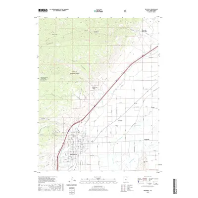
2020 Map of Richfield
USGS Topo · Published 2020About this map
Richfield and its surrounding agricultural valley are defined by an intricate network of irrigation infrastructure and the rising slopes of the Fishlake National Forest. The local economy's reliance on water management is evident in the numerous waterways such as the Vermillion Canal, Piute Canal, and Sevier Valley Canal, which parallel the Sevier River to sustain the valley's farms. To the west, the landscape shifts abruptly into the high country of Table Mtn and Newts Canyon, where a complex system of historical routes like the Old Logging Road and Trail 1455 crisscross the timbered slopes. Notable for genealogists and local historians are the smaller named clusters of Prattsville, Venice, and Gramse, along with the Richfield City Cem and the Richfield Ccc site, reflecting the region's mid-century development and community structure.
Find a feature on this map
54 named features on this map. Tap any name to fly to it.
Don’t see what you’re looking for? This feature index may not catch every label — zoom into the map to look around manually.
Map Details
Editions of this 2020 Richfield Map
This is the sole edition of this map. No revisions or reprints were ever made.
Other maps of this area

1885 · Beaver
USGS Topo · 1:250,000

1885 · Fish Lake
USGS Topo · 1:250,000

1896 · Fish Lake
USGS Topo · 1:250,000

1940 · Monroe
USGS Topo · 1:62,500

1944 · Monroe
USGS Topo · 1:62,500

1953 · Richfield
USGS Topo · 1:250,000

1956 · Salina
USGS Topo · 1:250,000

1958 · Richfield
USGS Topo · 1:250,000

1960 · Salina
USGS Topo · 1:250,000

1961 · Mt. Catherine
USGS Topo · 1:24,000