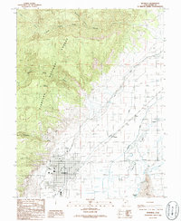
1986 Map of Richfield
USGS Topo · Published 1986About this map
The Sevier River corridor defines the landscape of Sevier County, as shown in this mid-1980s topographical record. The city of Richfield stands as the primary hub, where an orderly grid of residential and commercial streets meets the agricultural valley floor. Researchers will find significant local infrastructure including the Fairground, an Athletic Field, and the KSVC Radio Tower. To the west, the steep rise of Cedar Ridge and Table Mountain marks the boundary of the Fishlake National Forest, where a Pack Trail winds through canyons like Strawberry Canyon and South Canyon.
Find a feature on this map
30 named features on this map. Tap any name to fly to it.
Don’t see what you’re looking for? This feature index may not catch every label — zoom into the map to look around manually.
Map Details
Editions of this 1986 Richfield Map
This is the sole edition of this map. No revisions or reprints were ever made.
Other maps of this area

1885 · Beaver
USGS Topo · 1:250,000

1885 · Fish Lake
USGS Topo · 1:250,000

1896 · Fish Lake
USGS Topo · 1:250,000

1940 · Monroe
USGS Topo · 1:62,500

1944 · Monroe
USGS Topo · 1:62,500

1953 · Richfield
USGS Topo · 1:250,000

1956 · Salina
USGS Topo · 1:250,000

1958 · Richfield
USGS Topo · 1:250,000

1960 · Salina
USGS Topo · 1:250,000

1961 · Mt. Catherine
USGS Topo · 1:24,000