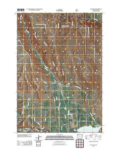
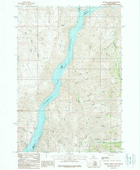
2011 Map of Richland
USGS Topo · Published 2011About this map
Richland and the nearby settlement of New Bridge anchor this portion of the Eagle Valley, where the confluence of irrigation history and rugged canyon terrain is clearly visible. The landscape is defined by an intricate network of early water management features, including the Spring Creek Ditch, Howell Ditch, and Newt Young Ditch, which redirect water from Eagle Creek to support the local agriculture. To the south, the Powder River enters the broad waters of the Brownlee Reservoir, marking the transition from river valley to the inundation zone of the Snake River system.
Find a feature on this map
52 named features on this map. Tap any name to fly to it.
Don’t see what you’re looking for? This feature index may not catch every label — zoom into the map to look around manually.
Map Details
Editions of this 2011 Richland Map
This is the sole edition of this map. No revisions or reprints were ever made.
Other maps of this area
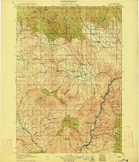
1915 · Pine
USGS Topo · 1:125,000

1955 · Baker
USGS Topo · 1:250,000
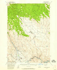
1957 · Halfway
USGS Topo · 1:62,500
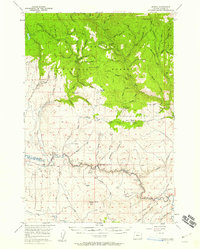
1957 · Sparta
USGS Topo · 1:62,500
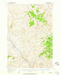
1957 · Durkee
USGS Topo · 1:62,500
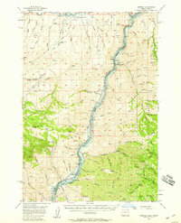
1957 · Mineral
USGS Topo · 1:62,500

1959 · Baker
USGS Topo · 1:250,000
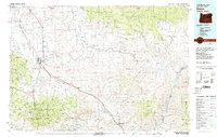
1981 · Baker
USGS Topo · 1:100,000
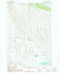
1987 · Richland
USGS Topo · 1:24,000
1987 · Sturgill Creek
USGS Topo · 1:24,000