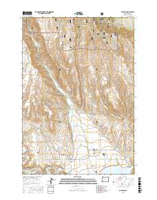
2017 Map of Richland
USGS Topo · Published 2017About this map
Richland serves as the central hub of this agricultural landscape, situated where the Powder River meets the northern reaches of the Browlee Reservoir. The valley's complex water management is evident through a network of irrigation systems including Howell Ditch, the Waterbury Ditch, and the New Young Ditch, which support the farms of Eagle Valley. To the north, the terrain rises into the Whitman National Forest, marked by numerous drainage gulches like Corral Gulch and Fawn Gulch. The settlement of New Bridge sits at a critical junction of local transit, near the Mill Pond and Squaw Gulch. This 2017 survey reflects a landscape defined by its hybrid of forest management and river-bottom ranching, documented through landmarks like the Eagle Valley Cemetery and the prominent Pleasant Ridge. Local roads such as Sparta Rd and Hoover Grade navigate the steep transitions between the high timberlands and the fertile basin floor.
Find a feature on this map
67 named features on this map. Tap any name to fly to it.
Don’t see what you’re looking for? This feature index may not catch every label — zoom into the map to look around manually.
Map Details
Editions of this 2017 Richland Map
This is the sole edition of this map. No revisions or reprints were ever made.
Other maps of this area

1915 · Pine
USGS Topo · 1:125,000

1955 · Baker
USGS Topo · 1:250,000

1957 · Halfway
USGS Topo · 1:62,500

1957 · Sparta
USGS Topo · 1:62,500

1957 · Durkee
USGS Topo · 1:62,500

1957 · Mineral
USGS Topo · 1:62,500

1959 · Baker
USGS Topo · 1:250,000

1981 · Baker
USGS Topo · 1:100,000
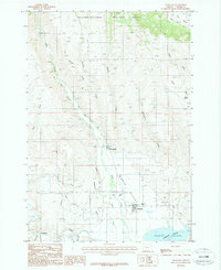
1987 · Richland
USGS Topo · 1:24,000
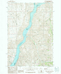
1987 · Sturgill Creek
USGS Topo · 1:24,000