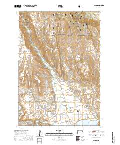
2020 Map of Richland
USGS Topo · Published 2020About this map
Eagle Valley serves as a fertile agricultural hub in this high-desert landscape, dominated by the communities of Richland and New Bridge. This 2020 USGS survey illustrates a complex network of historical irrigation features, including the Posy Valley Ditch, Newey Young Ditch, and L N Young Ditch, which harness the waters of Eagle Cr to sustain local ranching. To the south, the Powder River flows toward the extensive Brownlee Reservoir, while the northern portion of the quadrangle ascends into the protected timberlands of the Whitman National Forest. Researchers can find evidence of early regional development through landmarks like the Eagle Valley Cem and numerous named drainages such as Town Gulch and Foster Gulch. The road network, featuring Hoover Grade and Sparta Rd, highlights the primary routes connecting these isolated valley settlements to the broader Baker County region.
Find a feature on this map
61 named features on this map. Tap any name to fly to it.
Don’t see what you’re looking for? This feature index may not catch every label — zoom into the map to look around manually.
Map Details
Editions of this 2020 Richland Map
This is the sole edition of this map. No revisions or reprints were ever made.
Other maps of this area
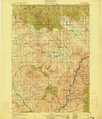
1915 · Pine
USGS Topo · 1:125,000

1955 · Baker
USGS Topo · 1:250,000
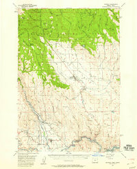
1957 · Halfway
USGS Topo · 1:62,500
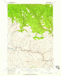
1957 · Sparta
USGS Topo · 1:62,500
1957 · Durkee
USGS Topo · 1:62,500
1957 · Mineral
USGS Topo · 1:62,500

1959 · Baker
USGS Topo · 1:250,000
1981 · Baker
USGS Topo · 1:100,000
1987 · Richland
USGS Topo · 1:24,000
1987 · Sturgill Creek
USGS Topo · 1:24,000