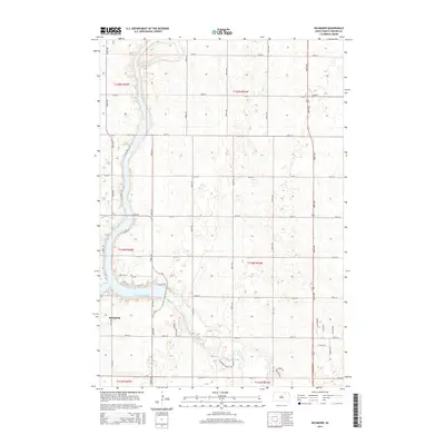
2015 Map of Richmond
USGS Topo · Published 2015About this map
Richmond Lake serves as the central focal point for this section of Brown County, with its irregular shoreline defining the local road network and residential development. The small settlement of Richmond sits just southwest of the water, while newer residential pockets like Richmond Heights Dr suggest the area's transition toward lakeside living. The landscape is primarily a grid of section lines and agricultural allotments, occasionally broken by the winding path of Foot Cr as it drains the surrounding prairie.
Find a feature on this map
44 named features on this map. Tap any name to fly to it.
Don’t see what you’re looking for? This feature index may not catch every label — zoom into the map to look around manually.
Map Details
Editions of this 2015 Richmond Map
This is the sole edition of this map. No revisions or reprints were ever made.
Other maps of this area

1894 · Columbia
USGS Topo · 1:62,500

1895 · Aberdeen
USGS Topo · 1:125,000

1896 · Columbia
USGS Topo · 1:125,000

1899 · Ellendale
USGS Topo · 1:125,000

1899 · Northville
USGS Topo · 1:125,000

1952 · Ordway
USGS Topo · 1:24,000

1952 · Westport
USGS Topo · 1:24,000

1952 · Richmond NE
USGS Topo · 1:24,000

1954 · Aberdeen
USGS Topo · 1:250,000

1956 · Aberdeen
USGS Topo · 1:250,000
Featured Places
- Mercier Township, SD
- Lincoln Township, SD
- Ravinia Township, SD
- Carlisle Township, SD
- Westport Township, SD